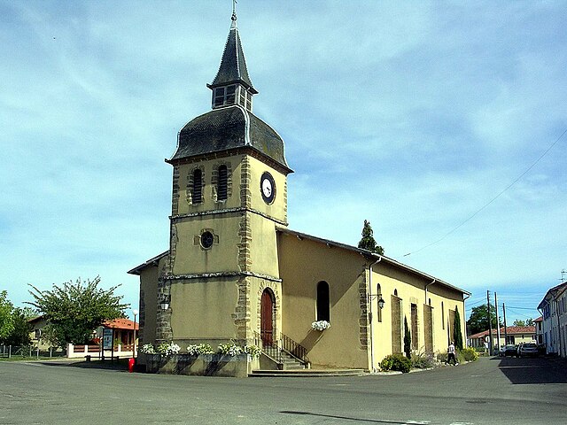
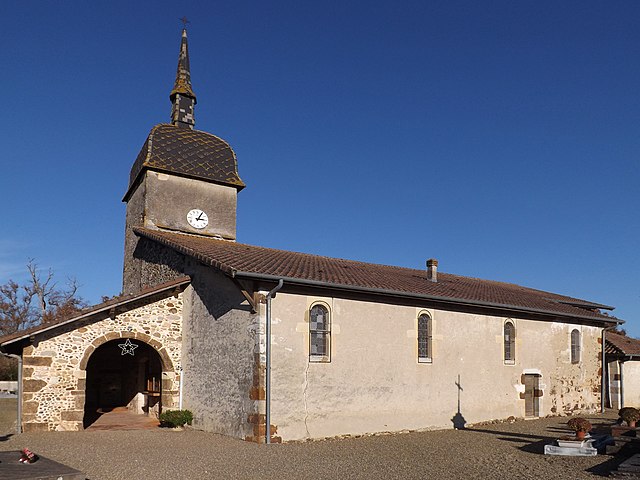
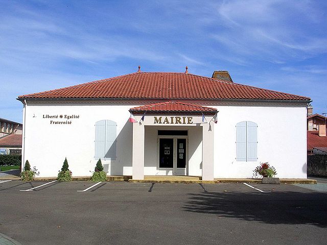
Souprosse (Souprosse)
- commune in Landes, France
- Country:

- Postal Code: 40250
- Coordinates: 43° 47' 19" N, 0° 42' 35" E


- GPS tracks (wikiloc): [Link]
- Area: 42.56 sq km
- Population: 1093
- Web site: http://www.souprosse.fr
- Wikipedia en: wiki(en)
- Wikipedia: wiki(fr)
- Wikidata storage: Wikidata: Q644897
- Wikipedia Commons Category: [Link]
- Freebase ID: [/m/03nvzgt]
- Freebase ID: [/m/03nvzgt]
- GeoNames ID: Alt: [6433999]
- GeoNames ID: Alt: [6433999]
- SIREN number: [214003097]
- SIREN number: [214003097]
- BnF ID: [15259251v]
- BnF ID: [15259251v]
- VIAF ID: Alt: [236600387]
- VIAF ID: Alt: [236600387]
- INSEE municipality code: 40309
- INSEE municipality code: 40309
Shares border with regions:
Lamothe
- commune in Landes, France
- Country:

- Postal Code: 40250
- Coordinates: 43° 47' 29" N, 0° 39' 11" E


- GPS tracks (wikiloc): [Link]
- Area: 12.63 sq km
- Population: 323
- Web site: [Link]


Gouts
- commune in Landes, France
- Country:

- Postal Code: 40400
- Coordinates: 43° 47' 3" N, 0° 47' 46" E


- GPS tracks (wikiloc): [Link]
- Area: 10.88 sq km
- Population: 281
- Web site: [Link]


Meilhan
- commune in Landes, France
- Country:

- Postal Code: 40400
- Coordinates: 43° 51' 49" N, 0° 42' 23" E


- GPS tracks (wikiloc): [Link]
- Area: 39.07 sq km
- Population: 1142
- Web site: [Link]


Tartas
- commune in Landes, France
- Country:

- Postal Code: 40400
- Coordinates: 43° 49' 57" N, 0° 48' 31" E


- GPS tracks (wikiloc): [Link]
- AboveSeaLevel: 22 м m
- Area: 30.37 sq km
- Population: 3236
- Web site: [Link]


Le Leuy
- commune in Landes, France
- Country:

- Postal Code: 40250
- Coordinates: 43° 49' 20" N, 0° 39' 9" E


- GPS tracks (wikiloc): [Link]
- AboveSeaLevel: 66 м m
- Area: 9.46 sq km
- Population: 242
- Web site: [Link]

Mugron
- commune in Landes, France
- Country:

- Postal Code: 40250
- Coordinates: 43° 45' 0" N, 0° 44' 57" E


- GPS tracks (wikiloc): [Link]
- Area: 16.53 sq km
- Population: 1456


Toulouzette
- commune in Landes, France
- Country:

- Postal Code: 40250
- Coordinates: 43° 45' 21" N, 0° 41' 10" E


- GPS tracks (wikiloc): [Link]
- Area: 11.26 sq km
- Population: 314


Cauna
- commune in Landes, France
- Country:

- Postal Code: 40500
- Coordinates: 43° 46' 54" N, 0° 38' 21" E


- GPS tracks (wikiloc): [Link]
- Area: 13.39 sq km
- Population: 445


Nerbis
- commune in Landes, France
- Country:

- Postal Code: 40250
- Coordinates: 43° 45' 17" N, 0° 44' 10" E


- GPS tracks (wikiloc): [Link]
- Area: 4.15 sq km
- Population: 287
