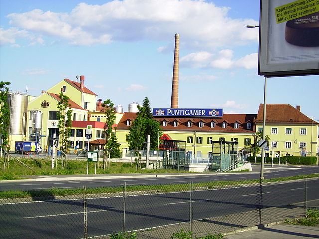
Straßgang (Straßgang)
- 16. district of Graz
Straßgang is a district located in Graz, Austria, offering various outdoor activities, including hiking. The region is characterized by its scenic landscapes, rolling hills, and accessible trails that cater to different skill levels. Here are some highlights for hiking in and around Straßgang:
Trails and Routes
-
Local Hiking Trails: There are numerous paths in and around Straßgang that provide beautiful views of the surrounding countryside and the nearby city of Graz. Many of these trails are well-marked and suitable for a range of abilities.
-
Graz Surroundings: You can venture into the nearby hills, such as the Graz Mountain Range or the surrounding nature areas. These trails can include beautiful forested routes, vineyards, and historic sites along the way.
-
St. Martin's Chapel: A popular destination for hikers is St. Martin's Chapel, which is situated on a hill and offers a rewarding view after a moderate hike.
Difficulty Levels
- Easy Trails: Suitable for families or beginners, these paths often have gentle inclines and scenic views.
- Moderate Trails: For those with a bit more experience, there are trails with steeper sections and longer distances that make for a good day hike.
- Challenging Trails: Experienced hikers can find more demanding routes that lead to higher elevations or more rugged terrain.
Best Practices
- Prepare: Always check the weather forecast before heading out. Dress in layers and wear appropriate footwear.
- Hydrate: Carry enough water, especially during warmer months, as trails can be less shaded.
- Navigation: Use maps or GPS apps to guide you, especially if you are unfamiliar with the area.
- Leave No Trace: Always be respectful of nature—stick to trails, carry out your waste, and avoid disturbing wildlife.
Accessibility
Straßgang is conveniently located, making it easy for residents and visitors to access hiking trails. Public transport options are available for those traveling from the city center of Graz to the hiking areas.
Additional Activities
In addition to hiking, the region may offer opportunities for cycling and exploring local vineyards and scenic viewpoints, making it a versatile destination for outdoor enthusiasts.
Conclusion
Whether you're looking for a peaceful walk through nature or a challenging hike with breathtaking views, Straßgang is a great area to explore. Always remember to plan ahead and enjoy the beautiful Austrian landscape!
- Country:

- Coordinates: 47° 1' 30" N, 15° 24' 28" E


- GPS tracks (wikiloc): [Link]
- Area: 11.75 sq km
- Wikipedia en: wiki(en)
- Wikipedia: wiki(de)
- Wikidata storage: Wikidata: Q179891
- Wikipedia Commons Category: [Link]
Shares border with regions:

Puntigam
- 17. district of Graz
Puntigam, located in Austria, is a charming area that offers several outdoor activities, including hiking. The region features beautiful landscapes, forests, and hills, making it a lovely destination for hikers of all skill levels....
- Country:

- Coordinates: 47° 1' 44" N, 15° 25' 34" E


- GPS tracks (wikiloc): [Link]
- Area: 6.18 sq km
Gries
- 5. district of Graz
Gries is a charming district in Graz, Austria, located close to the beautiful Styrian landscape. While Gries itself is more urban, it serves as a gateway to many excellent hiking opportunities in the surrounding areas of Graz and the larger Styrian region....
- Country:

- Coordinates: 47° 3' 48" N, 15° 25' 43" E


- GPS tracks (wikiloc): [Link]
Wetzelsdorf
- 15. district of Graz
Wetzelsdorf, located near Graz, Austria, is a charming area that offers a variety of hiking opportunities for outdoor enthusiasts. The region features beautiful landscapes, lush greenery, and scenic views, making it an attractive destination for hikers of all skill levels....
- Country:

- Coordinates: 47° 3' 24" N, 15° 23' 43" E


- GPS tracks (wikiloc): [Link]
- AboveSeaLevel: 362 м m
