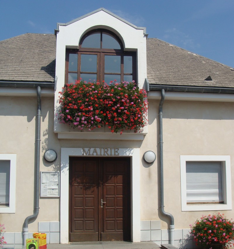
Tallard (Tallard)
- commune in Hautes-Alpes, France
 Hiking in Tallard
Tallard is a charming commune in the Hautes-Alpes department of southeastern France, known for its beautiful landscapes and outdoor activities. While the area is not as widely recognized as some of the more famous hiking destinations in the French Alps, it offers a unique experience for hikers looking to explore less crowded trails.
Here are some highlights and features of hiking in and around Tallard:
-
Scenic Trails: The region is surrounded by stunning mountain scenery, providing a variety of hiking paths that cater to different skill levels. You can find trails that lead through forests, alongside rivers, and up to picturesque viewpoints.
-
Access to the Alps: Tallard is located near the southern foothills of the Alps, which means that you can easily access the larger hiking routes and national parks in the area, such as the Ecrins National Park. This allows for day trips to some of the more challenging and spectacular hikes.
-
Local Flora and Fauna: The biodiversity in the region offers a chance to spot various wildlife and enjoy a range of plant life. Spring and summer are particularly beautiful with wildflowers in bloom.
-
Historical Sites: Hiking in Tallard may also provide opportunities to explore historical sites, such as the old castle, which can add an educational aspect to your adventure.
-
Weather Considerations: Always check the weather before heading out, as conditions can change rapidly in mountainous areas. It's advisable to hike in the late spring through early autumn for the best experience.
-
Safety Tips: When hiking in the Tallard area or nearby mountainous regions, make sure to wear appropriate hiking boots, carry plenty of water, and let someone know your hiking plans. Maps and GPS devices can be very useful, as some trails may not be well marked.
-
Local Guidance: If you're new to the area or prefer a guided experience, consider hiring a local guide who can provide insights into the best trails and hidden gems.
Exploring Tallard on foot can be a rewarding experience, allowing you to connect with nature while enjoying the stunning scenery and peaceful atmosphere of the Hautes-Alpes. Whether you're an experienced hiker or a casual walker, there are trails to enjoy in this lovely region.
- Country:

- Postal Code: 05130
- Coordinates: 44° 27' 42" N, 6° 3' 16" E


- GPS tracks (wikiloc): [Link]
- Area: 15.02 sq km
- Population: 2151
- Web site: http://www.ville-tallard.fr
- Wikipedia en: wiki(en)
- Wikipedia: wiki(fr)
- Wikidata storage: Wikidata: Q840061
- Wikipedia Commons Category: [Link]
- Freebase ID: [/m/02vqck6]
- Freebase ID: [/m/02vqck6]
- GeoNames ID: Alt: [2973485]
- GeoNames ID: Alt: [2973485]
- SIREN number: [210501706]
- SIREN number: [210501706]
- BnF ID: [120923071]
- BnF ID: [120923071]
- VIAF ID: Alt: [236449390]
- VIAF ID: Alt: [236449390]
- INSEE municipality code: 05170
- INSEE municipality code: 05170
Shares border with regions:

Châteauvieux
- commune in Hautes-Alpes, France
Hiking in Châteauvieux
Châteauvieux, located in the Hautes-Alpes region of France, is a charming village surrounded by stunning natural landscapes, making it an excellent destination for hiking enthusiasts. The area features a variety of trails that cater to different skill levels, offering opportunities to explore both gentle walks and more challenging hikes....
- Country:
- Postal Code: 05000
- Coordinates: 44° 29' 2" N, 6° 3' 4" E
- GPS tracks (wikiloc): [Link]
- AboveSeaLevel: 783 м m
- Area: 7.07 sq km
- Population: 485

Fouillouse
- commune in Hautes-Alpes, France
Hiking in Fouillouse
Fouillouse is a charming village located in the French Alps known for its stunning natural scenery and excellent hiking opportunities. Situated at a high altitude, it serves as a great base for exploring the surrounding mountains and trails. Here are some highlights of hiking in Fouillouse:...
- Country:
- Postal Code: 05130
- Coordinates: 44° 27' 27" N, 6° 0' 13" E
- GPS tracks (wikiloc): [Link]
- Area: 7.24 sq km
- Population: 236

Curbans
- commune in Alpes-de-Haute-Provence, France
Hiking in Curbans
Curbans is a charming village located in the Alpes-de-Haute-Provence region of France, known for its beautiful landscapes and outdoor recreational opportunities. While it may not be as well-known as other hiking destinations in the region, it offers several hiking trails that allow you to explore the gorgeous scenery of the area....
- Country:
- Postal Code: 05110
- Coordinates: 44° 25' 41" N, 6° 2' 16" E
- GPS tracks (wikiloc): [Link]
- Area: 28.88 sq km
- Population: 538
- Web site: [Link]

La Saulce
- commune in Hautes-Alpes, France
Hiking in La Saulce
La Saulce is a charming small municipality located in the Provence-Alpes-Côte d'Azur region of southeastern France, known for its picturesque landscapes and proximity to the mountains. Hiking in this area offers a mix of beautiful scenery, diverse trails, and a chance to experience the local flora and fauna....
- Country:
- Postal Code: 05110
- Coordinates: 44° 25' 31" N, 6° 0' 28" E
- GPS tracks (wikiloc): [Link]
- Area: 7.89 sq km
- Population: 1502
Neffes
- commune in Hautes-Alpes, France
Hiking in Neffes
Neffes is not a widely recognized hiking destination, so it’s possible that you’re referring to a specific area or trail that's less known. If you’re referring to a particular region, here are a few general tips and considerations for hiking in lesser-known areas:...
- Country:
- Postal Code: 05000
- Coordinates: 44° 30' 16" N, 6° 1' 20" E
- GPS tracks (wikiloc): [Link]
- Area: 8.36 sq km
- Population: 744

Venterol
- commune in Alpes-de-Haute-Provence, France
Hiking in Venterol
Venterol is a charming village located in the Alpes-de-Haute-Provence region of southeastern France. Surrounded by stunning natural landscapes, it offers a variety of hiking opportunities that cater to different levels of experience and fitness....
- Country:
- Postal Code: 05130
- Coordinates: 44° 26' 42" N, 6° 5' 56" E
- GPS tracks (wikiloc): [Link]
- Area: 22.75 sq km
- Population: 251

Sigoyer
- commune in Hautes-Alpes, France
Hiking in Sigoyer
Sigoyer is a charming village located in the Hautes-Alpes region of southeastern France. It offers a picturesque setting and is an excellent base for outdoor enthusiasts looking to explore the scenic beauty of the surrounding area. Here are some highlights for hiking in and around Sigoyer:...
- Country:
- Postal Code: 05130
- Coordinates: 44° 28' 40" N, 5° 58' 33" E
- GPS tracks (wikiloc): [Link]
- Area: 24.38 sq km
- Population: 664
- Web site: [Link]

Lettret
- commune in Hautes-Alpes, France
Hiking in Lettret
Lettret, located in the French Alps, is a beautiful area known for its stunning natural landscapes, making it a fantastic destination for hiking enthusiasts. Here’s what you should know about hiking in Lettret:...
- Country:
- Postal Code: 05130
- Coordinates: 44° 28' 6" N, 6° 3' 40" E
- GPS tracks (wikiloc): [Link]
- Area: 4.2 sq km
- Population: 171
- Web site: [Link]