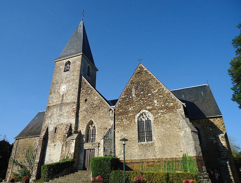
Teloché (Teloché)

- commune in Sarthe, France
- Country:

- Postal Code: 72220
- Coordinates: 47° 53' 16" N, 0° 16' 15" E


- GPS tracks (wikiloc): [Link]
- Area: 22.79 sq km
- Population: 3010
- Web site: http://www.mairiedeteloche.fr
- Wikipedia en: wiki(en)
- Wikipedia: wiki(fr)
- Wikidata storage: Wikidata: Q618027
- Wikipedia Commons Category: [Link]
- Freebase ID: [/m/03qk_sv]
- GeoNames ID: Alt: [2973192]
- SIREN number: [217203504]
- BnF ID: [15273902j]
- INSEE municipality code: 72350
Shares border with regions:

Mulsanne
- commune in Sarthe, France
- Country:
- Postal Code: 72230
- Coordinates: 47° 54' 42" N, 0° 14' 56" E
- GPS tracks (wikiloc): [Link]
- Area: 15.25 sq km
- Population: 5088
- Web site: [Link]

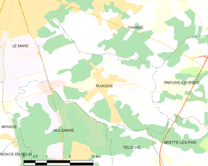
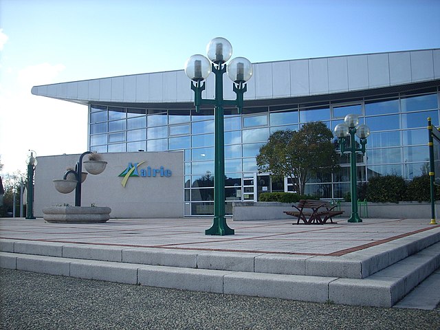
Ruaudin
- commune in Sarthe, France
- Country:
- Postal Code: 72230
- Coordinates: 47° 56' 41" N, 0° 15' 59" E
- GPS tracks (wikiloc): [Link]
- Area: 13.78 sq km
- Population: 3403
- Web site: [Link]

Saint-Mars-d'Outillé
- commune in Sarthe, France
- Country:
- Postal Code: 72220
- Coordinates: 47° 52' 15" N, 0° 19' 56" E
- GPS tracks (wikiloc): [Link]
- Area: 38.04 sq km
- Population: 2389
- Web site: [Link]


Brette-les-Pins
- commune in Sarthe, France
- Country:
- Postal Code: 72250
- Coordinates: 47° 54' 40" N, 0° 20' 13" E
- GPS tracks (wikiloc): [Link]
- Area: 14.51 sq km
- Population: 2148
- Web site: [Link]


Écommoy
- commune in Sarthe, France
- Country:
- Postal Code: 72220
- Coordinates: 47° 49' 42" N, 0° 16' 23" E
- GPS tracks (wikiloc): [Link]
- Area: 28.5 sq km
- Population: 4642
- Web site: [Link]


Laigné-en-Belin
- commune in Sarthe, France
- Country:
- Postal Code: 72220
- Coordinates: 47° 52' 41" N, 0° 13' 47" E
- GPS tracks (wikiloc): [Link]
- Area: 12.72 sq km
- Population: 2399
- Web site: [Link]