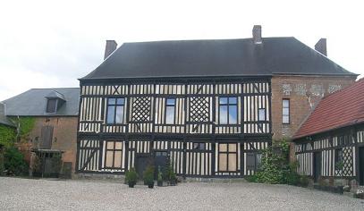
Thérines (Thérines)

- commune in Oise, France
- Country:

- Postal Code: 60380
- Coordinates: 49° 36' 10" N, 1° 53' 36" E


- GPS tracks (wikiloc): [Link]
- Area: 10.8 sq km
- Population: 209
- Web site: http://www.therines.fr
- Wikipedia en: wiki(en)
- Wikipedia: wiki(fr)
- Wikidata storage: Wikidata: Q778707
- Wikipedia Commons Category: [Link]
- Freebase ID: [/m/03qg926]
- GeoNames ID: Alt: [6438990]
- SIREN number: [216006205]
- INSEE municipality code: 60629
Shares border with regions:
Hautbos
- commune in Oise, France
- Country:
- Postal Code: 60210
- Coordinates: 49° 37' 40" N, 1° 52' 13" E
- GPS tracks (wikiloc): [Link]
- Area: 4.3 sq km
- Population: 181
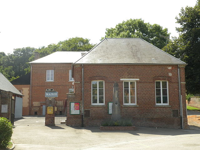
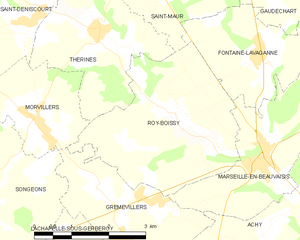
Roy-Boissy
- commune in Oise, France
- Country:
- Postal Code: 60690
- Coordinates: 49° 34' 59" N, 1° 55' 22" E
- GPS tracks (wikiloc): [Link]
- Area: 10.96 sq km
- Population: 331


Saint-Maur
- commune in Oise, France
- Country:
- Postal Code: 60210
- Coordinates: 49° 36' 57" N, 1° 55' 4" E
- GPS tracks (wikiloc): [Link]
- Area: 7.76 sq km
- Population: 386
Saint-Deniscourt
- commune in Oise, France
- Country:
- Postal Code: 60380
- Coordinates: 49° 36' 20" N, 1° 52' 13" E
- GPS tracks (wikiloc): [Link]
- Area: 4.68 sq km
- Population: 88
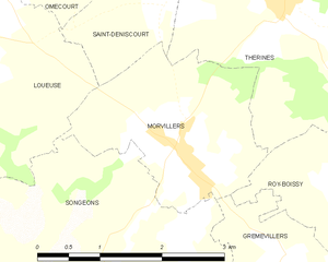
Morvillers
- commune in Oise, France
- Country:
- Postal Code: 60380
- Coordinates: 49° 34' 52" N, 1° 52' 14" E
- GPS tracks (wikiloc): [Link]
- Area: 5.12 sq km
- Population: 463