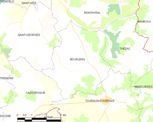
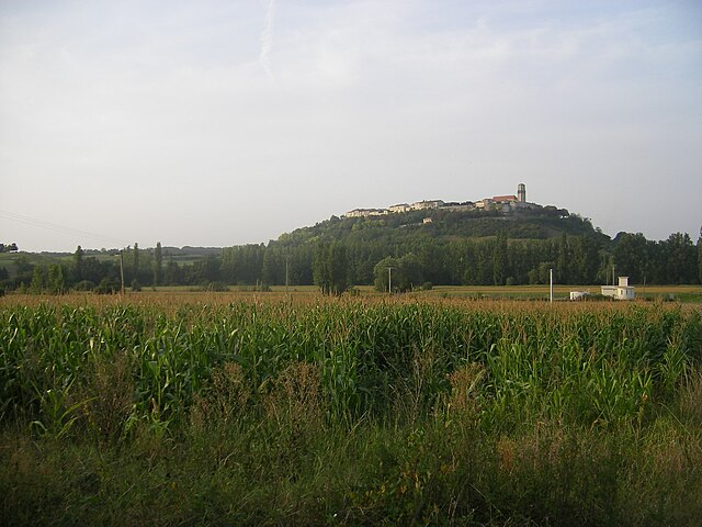
Thézac (Thézac)
- commune in Lot-et-Garonne, France
- Country:

- Postal Code: 47370
- Coordinates: 44° 25' 45" N, 1° 0' 54" E


- GPS tracks (wikiloc): [Link]
- Area: 11.21 sq km
- Population: 190
- Web site: http://www.xn--thzac-csa.fr/
- Wikipedia en: wiki(en)
- Wikipedia: wiki(fr)
- Wikidata storage: Wikidata: Q1104037
- Wikipedia Commons Category: [Link]
- Freebase ID: [/m/03qf4kh]
- GeoNames ID: Alt: [6435104]
- SIREN number: [214703076]
- INSEE municipality code: 47307
Shares border with regions:


Bourlens
- commune in Lot-et-Garonne, France
- Country:

- Postal Code: 47370
- Coordinates: 44° 25' 5" N, 0° 58' 16" E


- GPS tracks (wikiloc): [Link]
- Area: 15.44 sq km
- Population: 372


Tournon-d'Agenais
- commune in Lot-et-Garonne, France
- Country:

- Postal Code: 47370
- Coordinates: 44° 24' 0" N, 0° 59' 43" E


- GPS tracks (wikiloc): [Link]
- Area: 21.26 sq km
- Population: 715
- Web site: [Link]


Montayral
- commune in Lot-et-Garonne, France
- Country:

- Postal Code: 47500
- Coordinates: 44° 28' 46" N, 0° 59' 14" E


- GPS tracks (wikiloc): [Link]
- Area: 24.54 sq km
- Population: 2731


Mauroux
- commune in Lot, France
- Country:

- Postal Code: 46700
- Coordinates: 44° 27' 19" N, 1° 2' 47" E


- GPS tracks (wikiloc): [Link]
- AboveSeaLevel: 213 м m
- Area: 16.2 sq km
- Population: 518
- Web site: [Link]


Masquières
- commune in Lot-et-Garonne, France
- Country:

- Postal Code: 47370
- Coordinates: 44° 24' 26" N, 1° 3' 13" E


- GPS tracks (wikiloc): [Link]
- Area: 12.31 sq km
- Population: 184
