Montayral (Montayral)

- commune in Lot-et-Garonne, France
- Country:

- Postal Code: 47500
- Coordinates: 44° 28' 46" N, 0° 59' 14" E


- GPS tracks (wikiloc): [Link]
- Area: 24.54 sq km
- Population: 2731
- Wikipedia en: wiki(en)
- Wikipedia: wiki(fr)
- Wikidata storage: Wikidata: Q1105218
- Wikipedia Commons Category: [Link]
- Freebase ID: [/m/03qm274]
- GeoNames ID: Alt: [6435014]
- SIREN number: [214701856]
- BnF ID: [152612665]
- PACTOLS thesaurus ID: [pcrtQqKtLggu4x]
- INSEE municipality code: 47185
Shares border with regions:

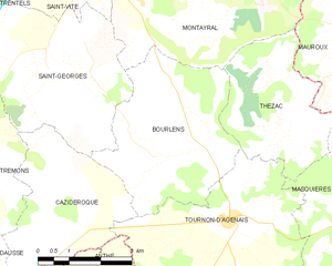
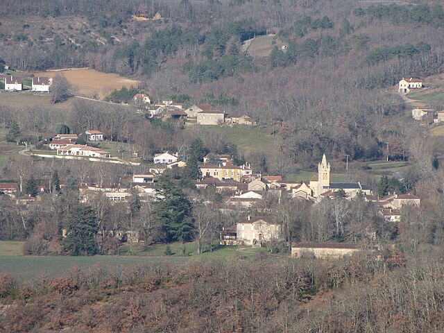
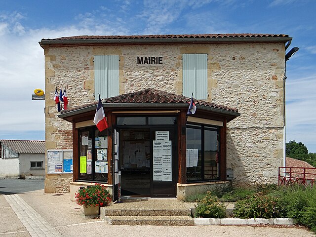
Bourlens
- commune in Lot-et-Garonne, France
- Country:
- Postal Code: 47370
- Coordinates: 44° 25' 5" N, 0° 58' 16" E
- GPS tracks (wikiloc): [Link]
- Area: 15.44 sq km
- Population: 372


Thézac
- commune in Lot-et-Garonne, France
- Country:
- Postal Code: 47370
- Coordinates: 44° 25' 45" N, 1° 0' 54" E
- GPS tracks (wikiloc): [Link]
- Area: 11.21 sq km
- Population: 190
- Web site: [Link]


Saint-Vite
- commune in Lot-et-Garonne, France
- Country:
- Postal Code: 47500
- Coordinates: 44° 28' 25" N, 0° 56' 25" E
- GPS tracks (wikiloc): [Link]
- Area: 5.47 sq km
- Population: 1171

Mauroux
- commune in Lot, France
- Country:
- Postal Code: 46700
- Coordinates: 44° 27' 19" N, 1° 2' 47" E
- GPS tracks (wikiloc): [Link]
- AboveSeaLevel: 213 м m
- Area: 16.2 sq km
- Population: 518
- Web site: [Link]

Soturac
- commune in Lot, France
- Country:
- Postal Code: 46700
- Coordinates: 44° 29' 19" N, 1° 1' 0" E
- GPS tracks (wikiloc): [Link]
- Area: 19.55 sq km
- Population: 627

Saint-Georges
- commune in Lot-et-Garonne, France
- Country:
- Postal Code: 47370
- Coordinates: 44° 26' 31" N, 0° 56' 2" E
- GPS tracks (wikiloc): [Link]
- AboveSeaLevel: 122 м m
- Area: 15.96 sq km
- Population: 550


Fumel
- commune in Lot-et-Garonne, France
- Country:
- Postal Code: 47500
- Coordinates: 44° 29' 55" N, 0° 58' 2" E
- GPS tracks (wikiloc): [Link]
- Area: 22.66 sq km
- Population: 4886
- Web site: [Link]