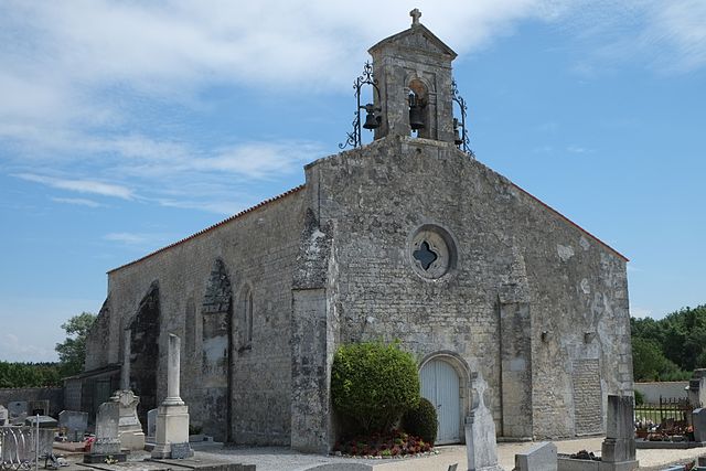
Thairé (Thairé)

- commune in Charente-Maritime, France
- Country:

- Postal Code: 17290
- Coordinates: 46° 4' 25" N, 1° 0' 11" E


- GPS tracks (wikiloc): [Link]
- Area: 18.74 sq km
- Population: 1650
- Web site: http://www.thaire.fr
- Wikipedia en: wiki(en)
- Wikipedia: wiki(fr)
- Wikidata storage: Wikidata: Q761771
- Wikipedia Commons Category: [Link]
- Freebase ID: [/m/0fh772]
- GeoNames ID: Alt: [6428153]
- SIREN number: [211704432]
- BnF ID: [152493032]
- INSEE municipality code: 17443
Shares border with regions:


Croix-Chapeau
- commune in Charente-Maritime, France
- Country:
- Postal Code: 17220
- Coordinates: 46° 6' 31" N, 1° 0' 24" E
- GPS tracks (wikiloc): [Link]
- Area: 4.83 sq km
- Population: 1234
- Web site: [Link]


Yves
- commune in Charente-Maritime, France
- Country:
- Postal Code: 17340
- Coordinates: 46° 2' 25" N, 1° 2' 42" E
- GPS tracks (wikiloc): [Link]
- Area: 25.75 sq km
- Population: 1480


Salles-sur-Mer
- commune in Charente-Maritime, France
- Country:
- Postal Code: 17220
- Coordinates: 46° 6' 16" N, 1° 3' 19" E
- GPS tracks (wikiloc): [Link]
- Area: 14.03 sq km
- Population: 2092
- Web site: [Link]

Saint-Vivien
- commune in Charente-Maritime, France
- Country:
- Postal Code: 17220
- Coordinates: 46° 4' 46" N, 1° 3' 13" E
- GPS tracks (wikiloc): [Link]
- Area: 8.27 sq km
- Population: 1226
- Web site: [Link]


Le Thou
- commune in Charente-Maritime, France
- Country:
- Postal Code: 17290
- Coordinates: 46° 5' 1" N, 0° 55' 0" E
- GPS tracks (wikiloc): [Link]
- Area: 19 sq km
- Population: 1875


Ballon
- commune in Charente-Maritime, France
- Country:
- Postal Code: 17290
- Coordinates: 46° 3' 25" N, 0° 57' 8" E
- GPS tracks (wikiloc): [Link]
- Area: 12.18 sq km
- Population: 787