Thonne-la-Long (Thonne-la-Long)

- commune in Meuse, France
- Country:

- Postal Code: 55600
- Coordinates: 49° 33' 41" N, 5° 25' 32" E


- GPS tracks (wikiloc): [Link]
- Area: 9.5 sq km
- Population: 310
- Wikipedia en: wiki(en)
- Wikipedia: wiki(fr)
- Wikidata storage: Wikidata: Q223676
- Wikipedia Commons Category: [Link]
- Freebase ID: [/m/03qdv5k]
- GeoNames ID: Alt: [6437225]
- SIREN number: [215505082]
- BnF ID: [152651734]
- WOEID: [628554]
- INSEE municipality code: 55508
Shares border with regions:


Breux
- commune in Meuse, France
- Country:
- Postal Code: 55600
- Coordinates: 49° 35' 1" N, 5° 23' 27" E
- GPS tracks (wikiloc): [Link]
- Area: 12.99 sq km
- Population: 255
Verneuil-Petit
- commune in Meuse, France
- Country:
- Postal Code: 55600
- Coordinates: 49° 32' 35" N, 5° 24' 51" E
- GPS tracks (wikiloc): [Link]
- Area: 3.99 sq km
- Population: 127


Avioth
- commune in Meuse, France
- Country:
- Postal Code: 55600
- Coordinates: 49° 33' 59" N, 5° 23' 27" E
- GPS tracks (wikiloc): [Link]
- Area: 6.5 sq km
- Population: 140
- Web site: [Link]
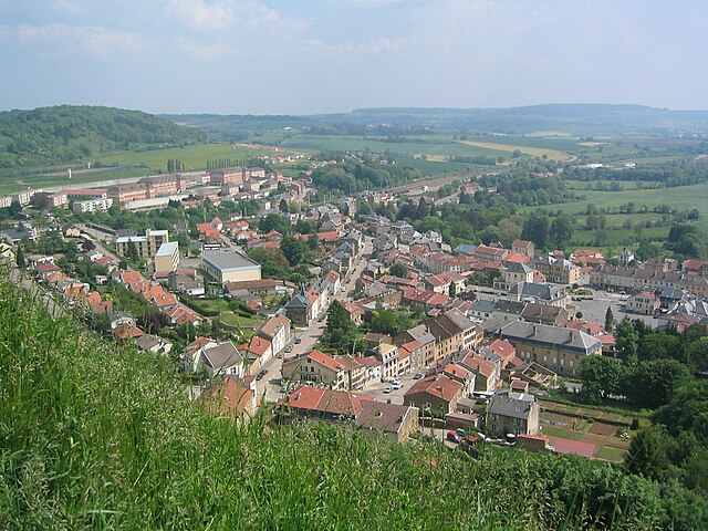

Montmédy
- commune in Meuse, France
- Country:
- Postal Code: 55600
- Coordinates: 49° 31' 10" N, 5° 21' 57" E
- GPS tracks (wikiloc): [Link]
- Area: 23.49 sq km
- Population: 2199
- Web site: [Link]