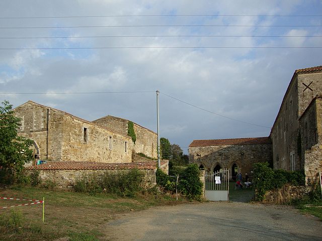
Thorigny (Thorigny)

- commune in Vendée, France
- Country:

- Postal Code: 85480
- Coordinates: 46° 36' 43" N, 1° 14' 23" E


- GPS tracks (wikiloc): [Link]
- Area: 32.15 sq km
- Population: 1229
- Web site: http://www.mairie-thorigny.fr/
- Wikipedia en: wiki(en)
- Wikipedia: wiki(fr)
- Wikidata storage: Wikidata: Q1412349
- Wikipedia Commons Category: [Link]
- Freebase ID: [/m/03qhm6c]
- GeoNames ID: Alt: [6445244]
- SIREN number: [218502912]
- BnF ID: [15278411b]
- INSEE municipality code: 85291
Shares border with regions:

Bournezeau
- commune in Vendée, France
- Country:
- Postal Code: 85480
- Coordinates: 46° 38' 14" N, 1° 10' 16" E
- GPS tracks (wikiloc): [Link]
- Area: 60.49 sq km
- Population: 3305
- Web site: [Link]


La Chaize-le-Vicomte
- commune in Vendée, France
- Country:
- Postal Code: 85310
- Coordinates: 46° 40' 20" N, 1° 17' 33" E
- GPS tracks (wikiloc): [Link]
- Area: 49.51 sq km
- Population: 3708
- Web site: [Link]

Château-Guibert
- commune in Vendée, France
- Country:
- Postal Code: 85320
- Coordinates: 46° 34' 54" N, 1° 14' 10" E
- GPS tracks (wikiloc): [Link]
- Area: 35.16 sq km
- Population: 1553
- Web site: [Link]


Fougeré
- commune in Vendée, France
- Country:
- Postal Code: 85480
- Coordinates: 46° 39' 30" N, 1° 13' 57" E
- GPS tracks (wikiloc): [Link]
- Area: 26.89 sq km
- Population: 1180
- Web site: [Link]


Les Pineaux
- commune in Vendée, France
- Country:
- Postal Code: 85320
- Coordinates: 46° 35' 43" N, 1° 10' 52" E
- GPS tracks (wikiloc): [Link]
- Area: 17.44 sq km
- Population: 620