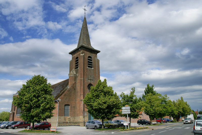
Thun-Saint-Amand (Thun-Saint-Amand)

- commune in Nord, France
- Country:

- Postal Code: 59158
- Coordinates: 50° 28' 48" N, 3° 27' 32" E


- GPS tracks (wikiloc): [Link]
- Area: 3.71 sq km
- Population: 1135
- Wikipedia en: wiki(en)
- Wikipedia: wiki(fr)
- Wikidata storage: Wikidata: Q740734
- Wikipedia Commons Category: [Link]
- Freebase ID: [/m/03qfl7m]
- Freebase ID: [/m/03qfl7m]
- GeoNames ID: Alt: [6438522]
- GeoNames ID: Alt: [6438522]
- SIREN number: [215905944]
- SIREN number: [215905944]
- BnF ID: [15267166b]
- BnF ID: [15267166b]
- VIAF ID: Alt: [144414752]
- VIAF ID: Alt: [144414752]
- Library of Congress authority ID: Alt: [n96042504]
- Library of Congress authority ID: Alt: [n96042504]
- INSEE municipality code: 59594
- INSEE municipality code: 59594
Shares border with regions:


Château-l'Abbaye
- commune in Nord, France
- Country:
- Postal Code: 59230
- Coordinates: 50° 29' 2" N, 3° 28' 45" E
- GPS tracks (wikiloc): [Link]
- Area: 4.41 sq km
- Population: 891

Lecelles
- commune in Nord, France
- Country:
- Postal Code: 59226
- Coordinates: 50° 28' 15" N, 3° 23' 40" E
- GPS tracks (wikiloc): [Link]
- Area: 16.24 sq km
- Population: 2771


Nivelle
- commune in Nord, France
- Country:
- Postal Code: 59230
- Coordinates: 50° 28' 21" N, 3° 28' 2" E
- GPS tracks (wikiloc): [Link]
- Area: 5.92 sq km
- Population: 1296


Mortagne-du-Nord
- commune in Nord, France
- Country:
- Postal Code: 59158
- Coordinates: 50° 30' 16" N, 3° 27' 16" E
- GPS tracks (wikiloc): [Link]
- Area: 2.18 sq km
- Population: 1643


Maulde
- commune in Nord, France
- Country:
- Postal Code: 59158
- Coordinates: 50° 30' 10" N, 3° 25' 57" E
- GPS tracks (wikiloc): [Link]
- Area: 5.18 sq km
- Population: 1003