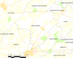
Tigné (Tigné)

- former commune in Maine-et-Loire, France
- Country:

- Postal Code: 49540
- Coordinates: 47° 12' 1" N, 0° 25' 39" E


- GPS tracks (wikiloc): [Link]
- Area: 16.78 sq km
- Population: 768
- Wikipedia en: wiki(en)
- Wikipedia: wiki(fr)
- Wikidata storage: Wikidata: Q1383004
- Wikipedia Commons Category: [Link]
- Freebase ID: [/m/03x_tnw]
- GeoNames ID: Alt: [2972609]
- INSEE municipality code: 49348
Shares border with regions:


Aubigné-sur-Layon
- commune in Maine-et-Loire, France
- Country:
- Postal Code: 49540
- Coordinates: 47° 12' 43" N, 0° 27' 40" E
- GPS tracks (wikiloc): [Link]
- AboveSeaLevel: 44 м m
- Area: 5.32 sq km
- Population: 367
- Web site: [Link]
La Fosse-de-Tigné
- former commune in Maine-et-Loire, France
- Country:
- Postal Code: 49540
- Coordinates: 47° 10' 54" N, 0° 25' 48" E
- GPS tracks (wikiloc): [Link]
- Area: 5.54 sq km
- Population: 232
Saint-Georges-sur-Layon
- former commune in Maine-et-Loire, France
- Country:
- Postal Code: 49700
- Coordinates: 47° 11' 51" N, 0° 22' 6" E
- GPS tracks (wikiloc): [Link]
- Area: 22.5 sq km
- Population: 760


Cernusson
- commune in Maine-et-Loire, France
- Country:
- Postal Code: 49310
- Coordinates: 47° 10' 32" N, 0° 29' 7" E
- GPS tracks (wikiloc): [Link]
- Area: 8.45 sq km
- Population: 357


Martigné-Briand
- former commune in Maine-et-Loire, France
- Country:
- Postal Code: 49540
- Coordinates: 47° 13' 59" N, 0° 25' 48" E
- GPS tracks (wikiloc): [Link]
- Area: 27.21 sq km
- Population: 1926
- Web site: [Link]

Montilliers
- commune in Maine-et-Loire, France
- Country:
- Postal Code: 49310
- Coordinates: 47° 10' 58" N, 0° 30' 16" E
- GPS tracks (wikiloc): [Link]
- Area: 26.36 sq km
- Population: 1220