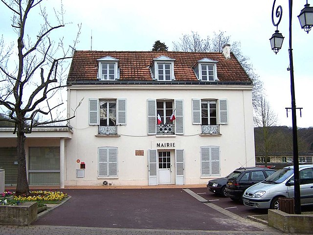
Toussus-le-Noble (Toussus-le-Noble)

- commune in Yvelines, France
- Country:

- Postal Code: 78117
- Coordinates: 48° 44' 49" N, 2° 6' 51" E


- GPS tracks (wikiloc): [Link]
- Area: 4.02 sq km
- Population: 1182
- Web site: http://www.mairie-toussus.fr
- Wikipedia en: wiki(en)
- Wikipedia: wiki(fr)
- Wikidata storage: Wikidata: Q1119799
- Wikipedia Commons Category: [Link]
- Freebase ID: [/m/0dt4gb]
- Freebase ID: [/m/0dt4gb]
- Freebase ID: [/m/0dt4gb]
- GeoNames ID: Alt: [2972143]
- GeoNames ID: Alt: [2972143]
- GeoNames ID: Alt: [2972143]
- SIREN number: [217806207]
- SIREN number: [217806207]
- SIREN number: [217806207]
- BnF ID: [15276115d]
- BnF ID: [15276115d]
- BnF ID: [15276115d]
- VIAF ID: Alt: [236960918]
- VIAF ID: Alt: [236960918]
- VIAF ID: Alt: [236960918]
- WOEID: [12653766]
- WOEID: [12653766]
- WOEID: [12653766]
- INSEE municipality code: 78620
- INSEE municipality code: 78620
- INSEE municipality code: 78620
Shares border with regions:

Buc
- commune in Yvelines, France
- Country:
- Postal Code: 78530
- Coordinates: 48° 46' 24" N, 2° 7' 31" E
- GPS tracks (wikiloc): [Link]
- Area: 8.07 sq km
- Population: 5720
- Web site: [Link]
Saclay
- commune in Essonne, France
- Country:
- Postal Code: 91400
- Coordinates: 48° 43' 51" N, 2° 10' 24" E
- GPS tracks (wikiloc): [Link]
- Area: 13.65 sq km
- Population: 3905
- Web site: [Link]

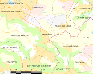
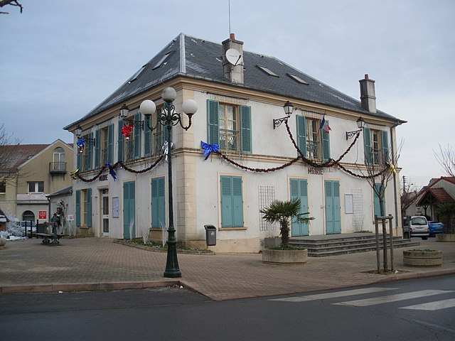
Châteaufort
- commune in Yvelines, France
- Country:
- Postal Code: 78117
- Coordinates: 48° 44' 11" N, 2° 5' 28" E
- GPS tracks (wikiloc): [Link]
- Area: 4.88 sq km
- Population: 1366


Jouy-en-Josas
- commune in Yvelines, France
- Country:
- Postal Code: 78350
- Coordinates: 48° 46' 5" N, 2° 10' 1" E
- GPS tracks (wikiloc): [Link]
- Area: 10.14 sq km
- Population: 8312
- Web site: [Link]


Les Loges-en-Josas
- commune in Yvelines, France
- Country:
- Postal Code: 78350
- Coordinates: 48° 45' 46" N, 2° 8' 30" E
- GPS tracks (wikiloc): [Link]
- Area: 2.48 sq km
- Population: 1486
- Web site: [Link]

Villiers-le-Bâcle
- commune in Essonne, France
- Country:
- Postal Code: 91190
- Coordinates: 48° 43' 32" N, 2° 7' 33" E
- GPS tracks (wikiloc): [Link]
- Area: 6.03 sq km
- Population: 1245
- Web site: [Link]