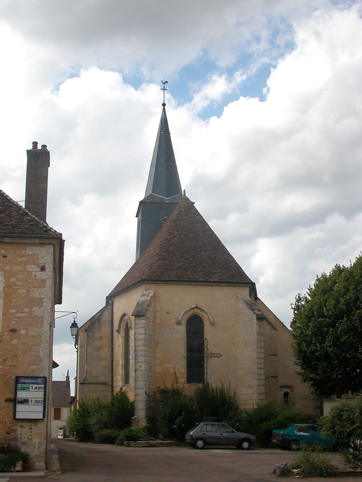
Treigny (Treigny)

- commune in Yonne, France
- Country:

- Postal Code: 89520
- Coordinates: 47° 33' 3" N, 3° 11' 3" E


- GPS tracks (wikiloc): [Link]
- AboveSeaLevel: 237 м m
- Area: 52.7 sq km
- Population: 842
- Wikipedia en: wiki(en)
- Wikipedia: wiki(fr)
- Wikidata storage: Wikidata: Q196379
- Wikipedia Commons Category: [Link]
- Freebase ID: [/m/03qfjyb]
- Freebase ID: [/m/03qfjyb]
- GeoNames ID: Alt: [2971912]
- GeoNames ID: Alt: [2971912]
- SIREN number: [218904209]
- SIREN number: [218904209]
- BnF ID: [152798768]
- BnF ID: [152798768]
- VIAF ID: Alt: [237028006]
- VIAF ID: Alt: [237028006]
- PACTOLS thesaurus ID: [pcrtKOfemdfwpx]
- PACTOLS thesaurus ID: [pcrtKOfemdfwpx]
- INSEE municipality code: 89420
- INSEE municipality code: 89420
- GNS Unique Feature ID: -1473569
- GNS Unique Feature ID: -1473569
Shares border with regions:


Sainte-Colombe-sur-Loing
- commune in Yonne, France
- Country:
- Postal Code: 89520
- Coordinates: 47° 34' 11" N, 3° 14' 4" E
- GPS tracks (wikiloc): [Link]
- Area: 14.76 sq km
- Population: 201


Sainpuits
- commune in Yonne, France
- Country:
- Postal Code: 89520
- Coordinates: 47° 31' 5" N, 3° 15' 34" E
- GPS tracks (wikiloc): [Link]
- Area: 22.84 sq km
- Population: 315
- Web site: [Link]

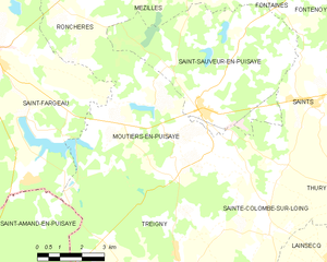
Moutiers-en-Puisaye
- commune in Yonne, France
- Country:
- Postal Code: 89520
- Coordinates: 47° 36' 36" N, 3° 10' 33" E
- GPS tracks (wikiloc): [Link]
- AboveSeaLevel: 227 м m
- Area: 31.42 sq km
- Population: 287

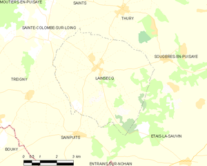
Lainsecq
- commune in Yonne, France
- Country:
- Postal Code: 89520
- Coordinates: 47° 33' 18" N, 3° 16' 24" E
- GPS tracks (wikiloc): [Link]
- Area: 25 sq km
- Population: 342


Saint-Amand-en-Puisaye
- commune in Nièvre, France
- Country:
- Postal Code: 58310
- Coordinates: 47° 31' 44" N, 3° 4' 28" E
- GPS tracks (wikiloc): [Link]
- Area: 41.51 sq km
- Population: 1297
- Web site: [Link]

Bouhy
- commune in Nièvre, France
- Country:
- Postal Code: 58310
- Coordinates: 47° 29' 8" N, 3° 9' 55" E
- GPS tracks (wikiloc): [Link]
- Area: 36.37 sq km
- Population: 448

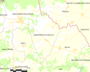
Dampierre-sous-Bouhy
- commune in Nièvre, France
- Country:
- Postal Code: 58310
- Coordinates: 47° 29' 57" N, 3° 8' 3" E
- GPS tracks (wikiloc): [Link]
- Area: 26.9 sq km
- Population: 462