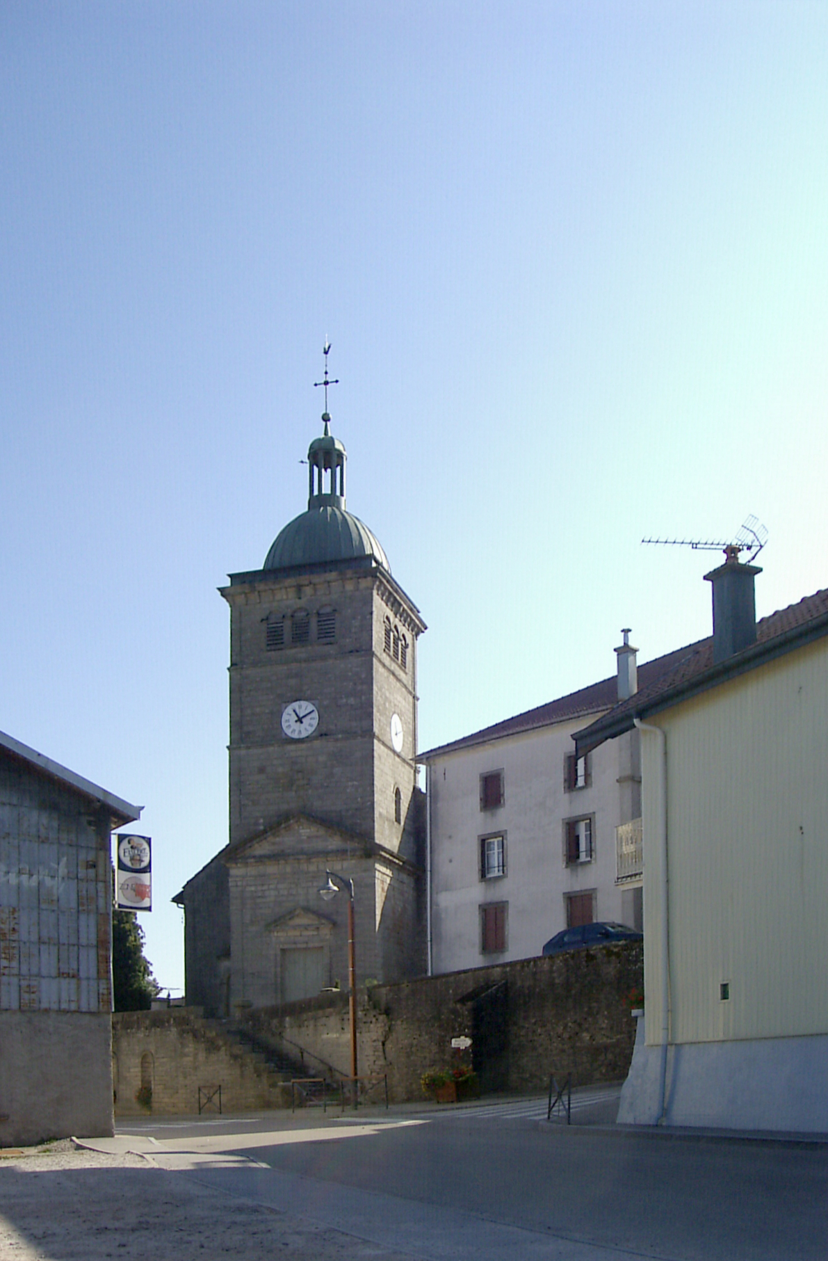
Uriménil (Uriménil)

- commune in Vosges, France
- Country:

- Postal Code: 88220
- Coordinates: 48° 6' 5" N, 6° 24' 5" E


- GPS tracks (wikiloc): [Link]
- Area: 15.62 sq km
- Population: 1356
- Web site: http://www.urimenil.fr
- Wikipedia en: wiki(en)
- Wikipedia: wiki(fr)
- Wikidata storage: Wikidata: Q189500
- Wikipedia Commons Category: [Link]
- Freebase ID: [/m/03qh856]
- Freebase ID: [/m/03qh856]
- GeoNames ID: Alt: [6445774]
- GeoNames ID: Alt: [6445774]
- SIREN number: [218804813]
- SIREN number: [218804813]
- BnF ID: [15279400x]
- BnF ID: [15279400x]
- VIAF ID: Alt: [245875941]
- VIAF ID: Alt: [245875941]
- GND ID: Alt: [7616295-3]
- GND ID: Alt: [7616295-3]
- INSEE municipality code: 88481
- INSEE municipality code: 88481
Shares border with regions:


Épinal
- commune in Vosges, France
- Country:
- Postal Code: 88000
- Coordinates: 48° 10' 25" N, 6° 27' 6" E
- GPS tracks (wikiloc): [Link]
- Area: 59.24 sq km
- Population: 31938
- Web site: [Link]

Hadol
- commune in Vosges, France
- Country:
- Postal Code: 88220
- Coordinates: 48° 5' 28" N, 6° 28' 42" E
- GPS tracks (wikiloc): [Link]
- Area: 49.05 sq km
- Population: 2391
- Web site: [Link]


Dounoux
- commune in Vosges, France
- Country:
- Postal Code: 88220
- Coordinates: 48° 6' 16" N, 6° 26' 38" E
- GPS tracks (wikiloc): [Link]
- Area: 9.23 sq km
- Population: 863
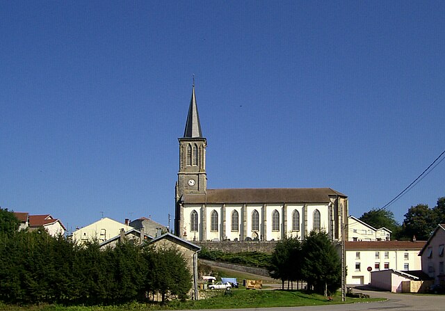
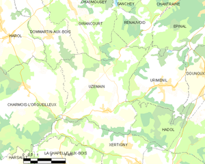
Uzemain
- commune in Vosges, France
- Country:
- Postal Code: 88220
- Coordinates: 48° 5' 8" N, 6° 20' 42" E
- GPS tracks (wikiloc): [Link]
- Area: 27.3 sq km
- Population: 1088
- Web site: [Link]


Renauvoid
- commune in Vosges, France
- Country:
- Postal Code: 88390
- Coordinates: 48° 8' 37" N, 6° 23' 0" E
- GPS tracks (wikiloc): [Link]
- AboveSeaLevel: 400 м m
- Area: 9.36 sq km
- Population: 117