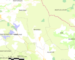
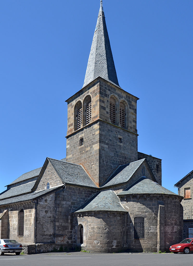
Vèze (Vèze)

- commune in Cantal, France
- Country:

- Postal Code: 15160
- Coordinates: 45° 16' 0" N, 2° 59' 37" E


- GPS tracks (wikiloc): [Link]
- Area: 25.46 sq km
- Population: 60
- Wikipedia en: wiki(en)
- Wikipedia: wiki(fr)
- Wikidata storage: Wikidata: Q302538
- Wikipedia Commons Category: [Link]
- Freebase ID: [/m/03mbbrx]
- GeoNames ID: Alt: [6613430]
- SIREN number: [211502562]
- INSEE municipality code: 15256
Shares border with regions:


Anzat-le-Luguet
- commune in Puy-de-Dôme, France
- Country:
- Postal Code: 63420
- Coordinates: 45° 19' 56" N, 3° 2' 30" E
- GPS tracks (wikiloc): [Link]
- Area: 66.56 sq km
- Population: 183

Pradiers
- commune in Cantal, France
- Country:
- Postal Code: 15160
- Coordinates: 45° 16' 11" N, 2° 55' 28" E
- GPS tracks (wikiloc): [Link]
- Area: 23.61 sq km
- Population: 94

Allanche
- commune in Cantal, France
- Country:
- Postal Code: 15160
- Coordinates: 45° 13' 45" N, 2° 56' 4" E
- GPS tracks (wikiloc): [Link]
- Area: 49.89 sq km
- Population: 759
- Web site: [Link]


Molèdes
- commune in Cantal, France
- Country:
- Postal Code: 15500
- Coordinates: 45° 15' 46" N, 3° 2' 23" E
- GPS tracks (wikiloc): [Link]
- Area: 22.38 sq km
- Population: 98