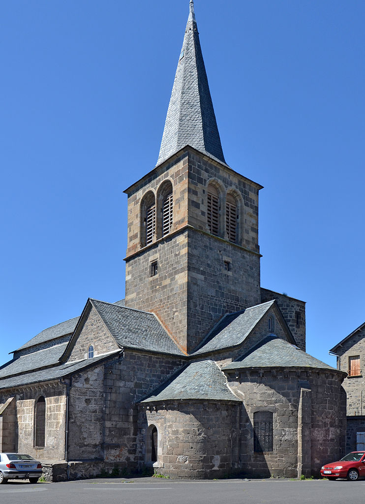
arrondissement of Saint-Flour (arrondissement de Saint-Flour)

- arrondissement of France
- Country:

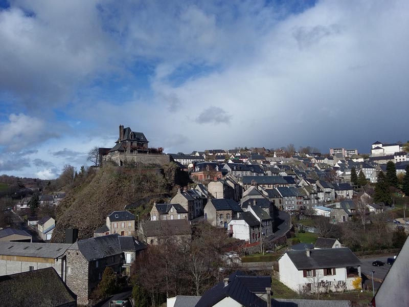
- Capital: Saint-Flour
- Coordinates: 45° 5' 0" N, 3° 0' 0" E


- GPS tracks (wikiloc): [Link]
- Area: 2511 sq km
- Population: 37938
- Wikipedia en: wiki(en)
- Wikipedia: wiki(fr)
- Wikidata storage: Wikidata: Q702330
- Freebase ID: [/m/095j6x]
- GeoNames ID: Alt: [2980102]
- INSEE arrondissement code: [153]
- GNS Unique Feature ID: -1465361
Includes regions:

canton of Saint-Flour-Sud
- canton of France (until March 2015)
- Country:
- Capital: Saint-Flour
- Coordinates: 45° 2' 4" N, 3° 5' 37" E
- GPS tracks (wikiloc): [Link]
canton of Saint-Flour-Nord
- canton of France (until March 2015)
- Country:
- Capital: Saint-Flour
- Coordinates: 45° 2' 4" N, 3° 5' 37" E
- GPS tracks (wikiloc): [Link]


canton of Murat
- canton of France
- Country:
- Capital: Murat
- Coordinates: 45° 6' 38" N, 2° 52' 10" E
- GPS tracks (wikiloc): [Link]
- Population: 8253

canton of Chaudes-Aigues
- canton of France (until March 2015)
- Country:
- Capital: Chaudes-Aigues
- Coordinates: 44° 51' 19" N, 3° 0' 17" E
- GPS tracks (wikiloc): [Link]

canton of Pierrefort
- canton of France (until March 2015)
- Country:
- Capital: Pierrefort
- Coordinates: 44° 55' 21" N, 2° 50' 19" E
- GPS tracks (wikiloc): [Link]
canton of Ruynes-en-Margeride
- canton of France (until March 2015)
- Country:
- Capital: Ruynes-en-Margeride
- Coordinates: 45° 0' 10" N, 3° 13' 27" E
- GPS tracks (wikiloc): [Link]