Valanjou (Valanjou)

- former commune in Maine-et-Loire, France
- Country:

- Postal Code: 49670
- Coordinates: 47° 12' 50" N, 0° 35' 43" E


- GPS tracks (wikiloc): [Link]
- AboveSeaLevel: 69 м m
- Area: 55.86 sq km
- Population: 2237
- Web site: http://www.valanjou.fr/
- Wikipedia en: wiki(en)
- Wikipedia: wiki(fr)
- Wikidata storage: Wikidata: Q1383023
- Wikipedia Commons Category: [Link]
- Freebase ID: [/m/03x_tq8]
- GeoNames ID: Alt: [3015672]
- BnF ID: [15261754j]
- INSEE municipality code: 49153
Shares border with regions:

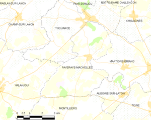
Faveraye-Mâchelles
- former commune in Maine-et-Loire, France
- Country:
- Postal Code: 49380
- Coordinates: 47° 15' 0" N, 0° 30' 0" E
- GPS tracks (wikiloc): [Link]
- Area: 18.6 sq km
- Population: 653


Cossé-d'Anjou
- former commune in Maine-et-Loire, France
- Country:
- Postal Code: 49120
- Coordinates: 47° 9' 46" N, 0° 40' 40" E
- GPS tracks (wikiloc): [Link]
- Area: 13.29 sq km
- Population: 423

La Salle-de-Vihiers
- former commune in Maine-et-Loire, France
- Country:
- Postal Code: 49310
- Coordinates: 47° 9' 21" N, 0° 38' 10" E
- GPS tracks (wikiloc): [Link]
- Area: 17.27 sq km
- Population: 1040

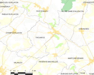
Thouarcé
- former commune in Maine-et-Loire, France
- Country:
- Postal Code: 49380
- Coordinates: 47° 16' 1" N, 0° 29' 59" E
- GPS tracks (wikiloc): [Link]
- Area: 18.74 sq km
- Population: 1976
- Web site: [Link]

Chemillé
- former commune in Maine-et-Loire, France
- Country:
- Postal Code: 49120
- Coordinates: 47° 12' 47" N, 0° 43' 33" E
- GPS tracks (wikiloc): [Link]
- Population: 7285


Chanzeaux
- former commune in Maine-et-Loire, France
- Country:
- Postal Code: 49750
- Coordinates: 47° 15' 50" N, 0° 38' 38" E
- GPS tracks (wikiloc): [Link]
- Area: 31.47 sq km
- Population: 1184


Champ-sur-Layon
- former commune in Maine-et-Loire, France
- Country:
- Postal Code: 49380
- Coordinates: 47° 15' 59" N, 0° 34' 33" E
- GPS tracks (wikiloc): [Link]
- Area: 19.19 sq km
- Population: 959
- Web site: [Link]

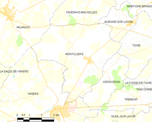
Montilliers
- commune in Maine-et-Loire, France
- Country:
- Postal Code: 49310
- Coordinates: 47° 10' 58" N, 0° 30' 16" E
- GPS tracks (wikiloc): [Link]
- Area: 26.36 sq km
- Population: 1220