Valette (Valette)

- commune in Cantal, France
- Country:

- Postal Code: 15400
- Coordinates: 45° 16' 4" N, 2° 36' 11" E


- GPS tracks (wikiloc): [Link]
- Area: 14.9 sq km
- Population: 235
- Wikipedia en: wiki(en)
- Wikipedia: wiki(fr)
- Wikidata storage: Wikidata: Q637641
- Wikipedia Commons Category: [Link]
- Freebase ID: [/m/03mbbmf]
- GeoNames ID: Alt: [6453695]
- SIREN number: [211502463]
- BnF ID: [15248416f]
- INSEE municipality code: 15246
Shares border with regions:


Riom-ès-Montagnes
- commune in Cantal, France
- Country:
- Postal Code: 15400
- Coordinates: 45° 16' 55" N, 2° 39' 35" E
- GPS tracks (wikiloc): [Link]
- Area: 46.48 sq km
- Population: 2591
- Web site: [Link]


Trizac
- commune in Cantal, France
- Country:
- Postal Code: 15400
- Coordinates: 45° 15' 11" N, 2° 32' 19" E
- GPS tracks (wikiloc): [Link]
- Area: 44.9 sq km
- Population: 517


Collandres
- commune in Cantal, France
- Country:
- Postal Code: 15400
- Coordinates: 45° 14' 10" N, 2° 39' 27" E
- GPS tracks (wikiloc): [Link]
- Area: 43.32 sq km
- Population: 147
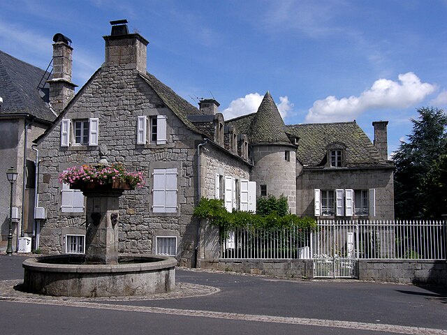
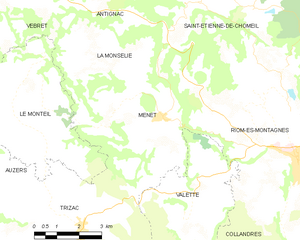
Menet
- commune in Cantal, France
- Country:
- Postal Code: 15400
- Coordinates: 45° 17' 49" N, 2° 35' 1" E
- GPS tracks (wikiloc): [Link]
- Area: 29.86 sq km
- Population: 565