Valeuil (Valeuil)

- commune in Dordogne, France
- Country:

- Postal Code: 24310
- Coordinates: 45° 19' 59" N, 0° 37' 4" E


- GPS tracks (wikiloc): [Link]
- Area: 18.5 sq km
- Population: 364
- Web site: http://www.valeuil.fr/
- Wikipedia en: wiki(en)
- Wikipedia: wiki(fr)
- Wikidata storage: Wikidata: Q1076805
- Wikipedia Commons Category: [Link]
- Freebase ID: [/m/0265plb]
- GeoNames ID: Alt: [2971013]
- SIREN number: [212405617]
- BnF ID: [15252202z]
- PACTOLS thesaurus ID: [pcrtcZzrHBhcmk]
- INSEE municipality code: 24561
Shares border with regions:
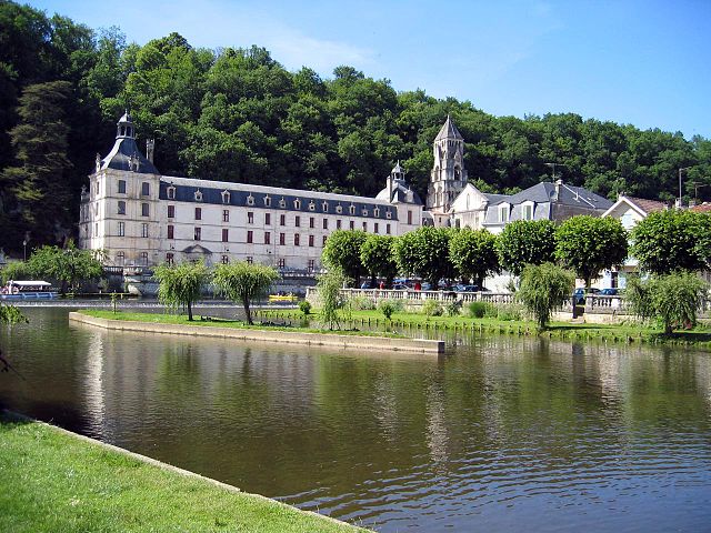
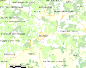
Brantôme
- former commune in Dordogne, France
- Country:
- Postal Code: 24310
- Coordinates: 45° 21' 51" N, 0° 38' 56" E
- GPS tracks (wikiloc): [Link]
- Area: 34.65 sq km
- Population: 2156
- Web site: [Link]


Biras
- commune in Dordogne, France
- Country:
- Postal Code: 24310
- Coordinates: 45° 17' 16" N, 0° 38' 20" E
- GPS tracks (wikiloc): [Link]
- Area: 19.43 sq km
- Population: 664