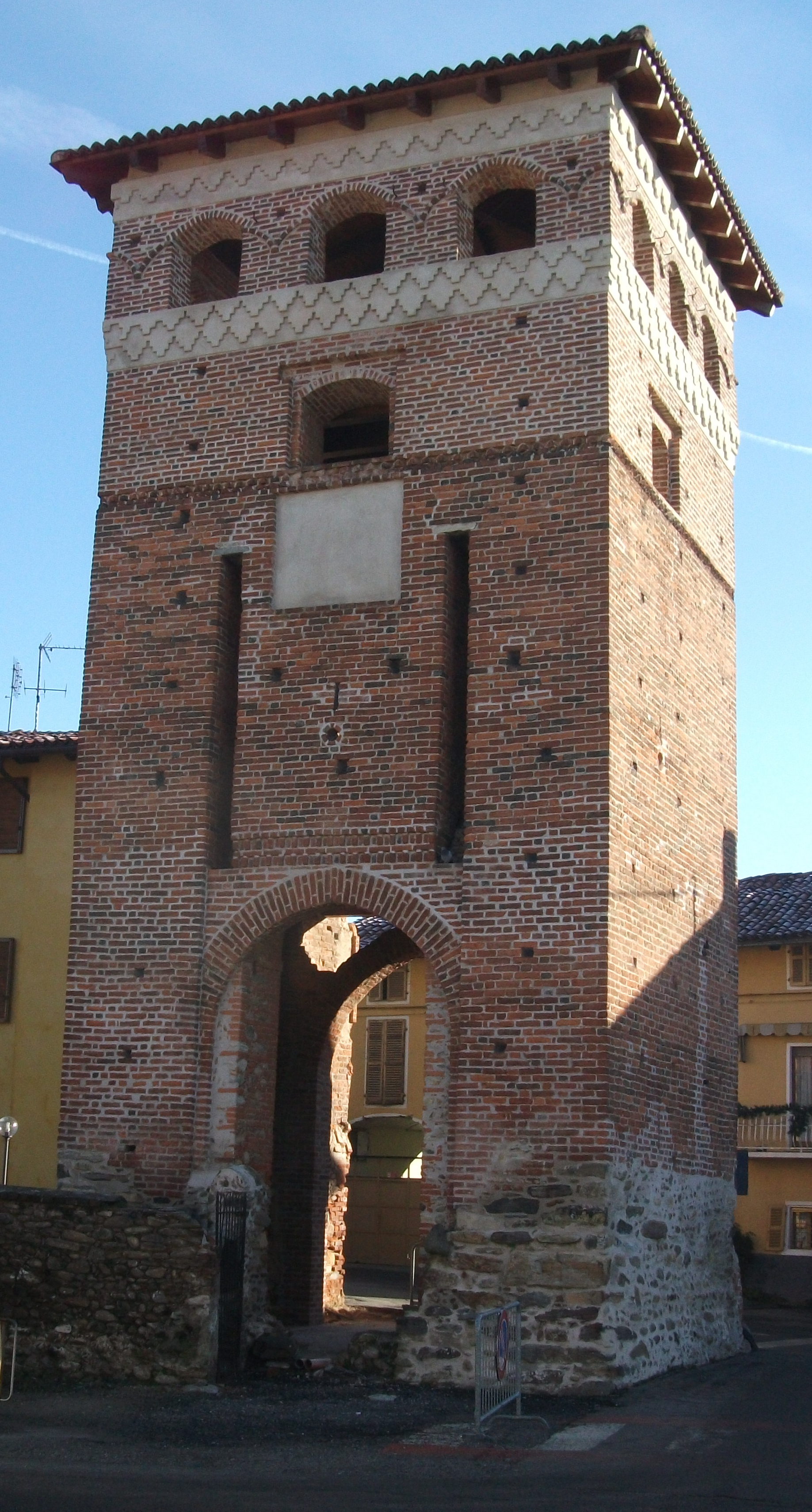
Vauda Canavese (Vauda Canavese)

- Italian comune
 Hiking in Vauda Canavese
Vauda Canavese is a beautiful area located in the Piedmont region of Italy, known for its scenic landscapes and diverse hiking opportunities. Nestled in the foothills of the Alps, the region offers a mix of natural beauty, historical sites, and charming villages.
Hiking Trails
-
Natural Reserves: The area has several nature reserves and parks, such as the Parco Naturale della Burcina, which features well-marked hiking trails that range from easy walks to more challenging hikes. The trails often provide stunning views of the surrounding mountains and valleys.
-
Cultural Routes: Alongside nature walks, some trails may also lead you through historical sites and traditional villages, providing insights into the local culture and heritage.
-
Difficulty Levels: There are hikes suited for all skill levels. Beginners can enjoy easier paths along the plains or lower hills, while more experienced hikers can tackle steeper trails that lead to higher elevations.
Points of Interest
- Scenic Views: Many trails offer breathtaking views of the Gran Paradiso and other Alpine peaks.
- Flora and Fauna: The region is rich in biodiversity, with many opportunities for bird watching and spotting local wildlife.
- Hydrographic Features: Trails might lead alongside rivers, lakes, and streams, adding to the scenic beauty of your hike.
Preparing for Your Hike
- Weather: Always check the weather conditions prior to your hike, as they can change rapidly in mountainous areas.
- Equipment: Wear sturdy hiking boots and bring essential gear, including a map, water, and a first aid kit. A trekking pole can also be beneficial, especially on uneven terrain.
- Local Guidance: Consider contacting local hiking clubs or guides for the best trails and to ensure you have updated information on trail conditions.
Getting There
Vauda Canavese is accessible by car or public transport from major cities like Turin. Once in the area, having a reliable map or GPS device will help you navigate to the different hiking trailheads.
Overall, hiking in Vauda Canavese is a fantastic way to enjoy the natural beauty and cultural richness of the Piedmont region. Whether you're looking for a leisurely walk or an adventurous hike, this area offers something for everyone.
- Country:

- Postal Code: 10070
- Local Dialing Code: 011
- Licence Plate Code: TO
- Coordinates: 45° 17' 0" N, 7° 37' 0" E


- GPS tracks (wikiloc): [Link]
- AboveSeaLevel: 396 м m
- Area: 7.09 sq km
- Population: 1444
- Web site: http://www.comune.vaudacanavese.to.it/
- Wikipedia en: wiki(en)
- Wikipedia: wiki(it)
- Wikidata storage: Wikidata: Q10338
- Wikipedia Commons Category: [Link]
- Freebase ID: [/m/0g8mv3]
- GeoNames ID: Alt: [6542404]
- VIAF ID: Alt: [236962464]
- OSM relation ID: [44883]
- GND ID: Alt: [4325418-4]
- UN/LOCODE: [ITVCT]
- ISTAT ID: 001290
- Italian cadastre code: L698
Shares border with regions:


Rocca Canavese
- Italian comune
Hiking in Rocca Canavese
Rocca Canavese is a beautiful destination located in the Piedmont region of Italy, known for its stunning landscapes, rich history, and outdoor activities, including hiking. Here's an overview of what you can expect when hiking in this area:...
- Country:
- Postal Code: 10070
- Local Dialing Code: 011
- Licence Plate Code: TO
- Coordinates: 45° 19' 0" N, 7° 35' 0" E
- GPS tracks (wikiloc): [Link]
- AboveSeaLevel: 421 м m
- Area: 14.19 sq km
- Population: 1735
- Web site: [Link]
San Carlo Canavese
- Italian comune
Hiking in San Carlo Canavese
San Carlo Canavese, located in the Piedmont region of Italy, is a charming area that offers various hiking opportunities amidst beautiful natural scenery. Nestled near foothills of the Alps and only a short distance from the city of Turin, it serves as a perfect starting point for outdoor adventures....
- Country:
- Postal Code: 10070
- Local Dialing Code: 011
- Licence Plate Code: TO
- Coordinates: 45° 15' 0" N, 7° 37' 0" E
- GPS tracks (wikiloc): [Link]
- AboveSeaLevel: 370 м m
- Area: 20.91 sq km
- Population: 3996
- Web site: [Link]


San Francesco al Campo
- Italian comune
Hiking in San Francesco al Campo
San Francesco al Campo, located in the Piedmont region of Italy, is a beautiful area that offers a variety of hiking opportunities. While it may not be as widely known as some other hiking destinations in Italy, it features gorgeous landscapes, peaceful trails, and a charming rural environment. Here’s what you can expect when hiking in and around San Francesco al Campo:...
- Country:
- Postal Code: 10070
- Local Dialing Code: 011
- Licence Plate Code: TO
- Coordinates: 45° 13' 31" N, 7° 39' 20" E
- GPS tracks (wikiloc): [Link]
- AboveSeaLevel: 327 м m
- Area: 14.98 sq km
- Population: 4927
- Web site: [Link]

Barbania
- Comune in Turin
Hiking in Barbania
Barbania is a charming municipality located in the province of Turin, in the Piedmont region of northwestern Italy. Nestled in the foothills of the Alps, it offers a variety of hiking opportunities for outdoor enthusiasts. Here are some highlights for hiking in Barbania:...
- Country:
- Postal Code: 10070
- Local Dialing Code: 011
- Licence Plate Code: TO
- Coordinates: 45° 18' 0" N, 7° 38' 0" E
- GPS tracks (wikiloc): [Link]
- AboveSeaLevel: 385 м m
- Area: 12.8 sq km
- Population: 1594
- Web site: [Link]


Busano
- Italian comune
Hiking in Busano
Busano is a charming municipality located in the province of Turin, Italy, and is known for its beautiful natural landscapes and outdoor activities, including hiking. Nestled in the foothills of the Alps, Busano offers a variety of trails that cater to different skill levels, making it an ideal destination for both novice and experienced hikers....
- Country:
- Postal Code: 10080
- Local Dialing Code: 0124
- Licence Plate Code: TO
- Coordinates: 45° 20' 0" N, 7° 39' 0" E
- GPS tracks (wikiloc): [Link]
- AboveSeaLevel: 317 м m
- Area: 5.06 sq km
- Population: 1642
- Web site: [Link]


Front
- Italian comune
Hiking in Front
Hiking in the Piedmont region of France, particularly around the Front area, offers a unique blend of natural beauty, diverse landscapes, and cultural history. The Piedmont area, known for its rolling hills, vineyards, and picturesque small towns, provides a variety of hiking opportunities suitable for different skill levels....
- Country:
- Postal Code: 10070
- Local Dialing Code: 011
- Licence Plate Code: TO
- Coordinates: 45° 17' 0" N, 7° 40' 0" E
- GPS tracks (wikiloc): [Link]
- AboveSeaLevel: 270 м m
- Area: 10.95 sq km
- Population: 1670
- Web site: [Link]