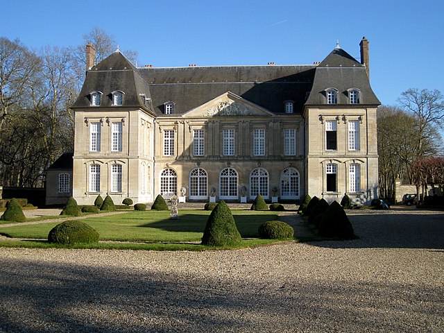
Vaudancourt (Vaudancourt)

- commune in Oise, France
- Country:

- Postal Code: 60240
- Coordinates: 49° 14' 1" N, 1° 45' 20" E


- GPS tracks (wikiloc): [Link]
- Area: 4.67 sq km
- Population: 177
- Wikipedia en: wiki(en)
- Wikipedia: wiki(fr)
- Wikidata storage: Wikidata: Q1331951
- Wikipedia Commons Category: [Link]
- Freebase ID: [/m/03qg7qk]
- GeoNames ID: Alt: [6439019]
- SIREN number: [216006502]
- BnF ID: [15267892t]
- INSEE municipality code: 60659
Shares border with regions:

Boury-en-Vexin
- commune in Oise, France
- Country:
- Postal Code: 60240
- Coordinates: 49° 14' 27" N, 1° 44' 10" E
- GPS tracks (wikiloc): [Link]
- Area: 11.09 sq km
- Population: 338

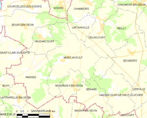
Montjavoult
- commune in Oise, France
- Country:
- Postal Code: 60240
- Coordinates: 49° 12' 51" N, 1° 46' 58" E
- GPS tracks (wikiloc): [Link]
- Area: 16.73 sq km
- Population: 473

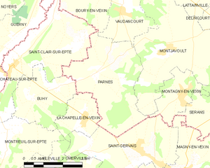
Parnes
- commune in Oise, France
- Country:
- Postal Code: 60240
- Coordinates: 49° 12' 12" N, 1° 44' 16" E
- GPS tracks (wikiloc): [Link]
- Area: 12.43 sq km
- Population: 350
- Web site: [Link]