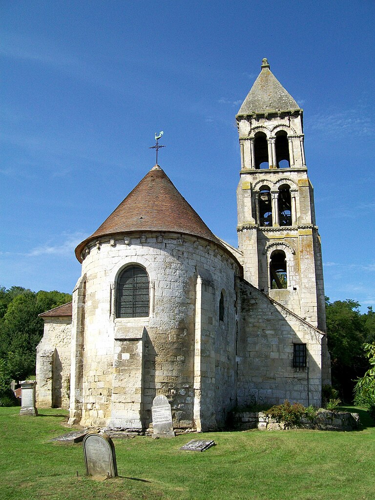
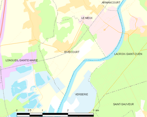
Verberie (Verberie)
- commune in Oise, France
- Country:

- Postal Code: 60410
- Coordinates: 49° 18' 38" N, 2° 43' 53" E


- GPS tracks (wikiloc): [Link]
- Area: 15.05 sq km
- Population: 3995
- Wikipedia en: wiki(en)
- Wikipedia: wiki(fr)
- Wikidata storage: Wikidata: Q815701
- Wikipedia Commons Category: [Link]
- Freebase ID: [/m/0b3j6t]
- GeoNames ID: Alt: [2970018]
- SIREN number: [216006585]
- BnF ID: [15267900m]
- VIAF ID: Alt: [130276657]
- GND ID: Alt: [4588465-1]
- Library of Congress authority ID: Alt: [n87128942]
- PACTOLS thesaurus ID: [pcrtfzGPgHPFKf]
- WOEID: [630632]
- INSEE municipality code: 60667
Shares border with regions:


Saintines
- commune in Oise, France
- Country:

- Postal Code: 60410
- Coordinates: 49° 18' 23" N, 2° 46' 10" E


- GPS tracks (wikiloc): [Link]
- Area: 2.87 sq km
- Population: 1034


Lacroix-Saint-Ouen
- commune in Oise, France
- Country:

- Postal Code: 60610
- Coordinates: 49° 21' 22" N, 2° 47' 13" E


- GPS tracks (wikiloc): [Link]
- Area: 20.83 sq km
- Population: 4306
- Web site: [Link]


Villeneuve-sur-Verberie
- commune in Oise, France
- Country:

- Postal Code: 60410
- Coordinates: 49° 16' 32" N, 2° 41' 22" E


- GPS tracks (wikiloc): [Link]
- Area: 8.16 sq km
- Population: 646


Rhuis
- commune in Oise, France
- Country:

- Postal Code: 60410
- Coordinates: 49° 18' 27" N, 2° 41' 52" E


- GPS tracks (wikiloc): [Link]
- Area: 2.7 sq km
- Population: 141


Raray
- commune in Oise, France
- Country:

- Postal Code: 60810
- Coordinates: 49° 15' 35" N, 2° 42' 52" E


- GPS tracks (wikiloc): [Link]
- Area: 6.72 sq km
- Population: 153


Rivecourt
- commune in Oise, France
- Country:

- Postal Code: 60126
- Coordinates: 49° 20' 52" N, 2° 44' 5" E


- GPS tracks (wikiloc): [Link]
- Area: 3.87 sq km
- Population: 582


Saint-Sauveur
- commune in Oise, France
- Country:

- Postal Code: 60320
- Coordinates: 49° 19' 6" N, 2° 46' 59" E


- GPS tracks (wikiloc): [Link]
- Area: 16.5 sq km
- Population: 1663
- Web site: [Link]


Saint-Vaast-de-Longmont
- commune in Oise, France
- Country:

- Postal Code: 60410
- Coordinates: 49° 18' 11" N, 2° 44' 11" E


- GPS tracks (wikiloc): [Link]
- Area: 4.9 sq km
- Population: 642


Longueil-Sainte-Marie
- commune in Oise, France
- Country:

- Postal Code: 60126
- Coordinates: 49° 21' 24" N, 2° 43' 4" E


- GPS tracks (wikiloc): [Link]
- Area: 17 sq km
- Population: 1924
- Web site: [Link]
