Vernon (Vernon)
- commune in Ardèche, France
- Country:

- Postal Code: 07260
- Coordinates: 44° 30' 27" N, 4° 13' 31" E


- GPS tracks (wikiloc): [Link]
- Area: 3.71 sq km
- Population: 233
- Wikipedia en: wiki(en)
- Wikipedia: wiki(fr)
- Wikidata storage: Wikidata: Q475808
- Wikipedia Commons Category: [Link]
- Freebase ID: [/m/03m8bmf]
- GeoNames ID: Alt: [6425877]
- SIREN number: [210703369]
- INSEE municipality code: 07336
Shares border with regions:

Sanilhac
- commune in Ardèche, France
- Country:
- Postal Code: 07110
- Coordinates: 44° 32' 9" N, 4° 15' 0" E
- GPS tracks (wikiloc): [Link]
- Area: 20.95 sq km
- Population: 459
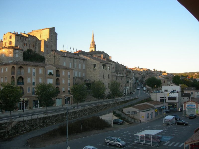
Joyeuse
- commune in Ardèche, France
- Country:
- Postal Code: 07260
- Coordinates: 44° 28' 46" N, 4° 14' 16" E
- GPS tracks (wikiloc): [Link]
- Area: 13.04 sq km
- Population: 1703

Ribes
- commune in Ardèche, France
- Country:
- Postal Code: 07260
- Coordinates: 44° 29' 43" N, 4° 12' 26" E
- GPS tracks (wikiloc): [Link]
- Area: 7.17 sq km
- Population: 297

Rosières
- commune in Ardèche, France
- Country:
- Postal Code: 07260
- Coordinates: 44° 29' 0" N, 4° 15' 27" E
- GPS tracks (wikiloc): [Link]
- Area: 16.29 sq km
- Population: 1188