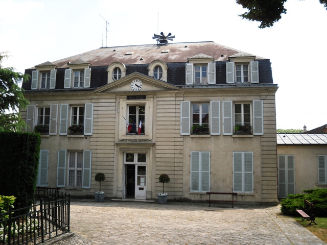
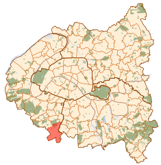
Verrières-le-Buisson (Verrières-le-Buisson)

- commune in Essonne, France
- Country:

- Postal Code: 91370
- Coordinates: 48° 44' 51" N, 2° 15' 46" E


- GPS tracks (wikiloc): [Link]
- Area: 9.91 sq km
- Population: 15592
- Web site: http://www.verrieres-le-buisson.fr
- Wikipedia en: wiki(en)
- Wikipedia: wiki(fr)
- Wikidata storage: Wikidata: Q747799
- Wikipedia Commons Category: [Link]
- Freebase ID: [/m/02b_kh]
- Freebase ID: [/m/02b_kh]
- GeoNames ID: Alt: [2969692]
- GeoNames ID: Alt: [2969692]
- SIREN number: [219106457]
- SIREN number: [219106457]
- BnF ID: [15280227f]
- BnF ID: [15280227f]
- VIAF ID: Alt: [236545460]
- VIAF ID: Alt: [236545460]
- archINFORM location ID: [11736]
- archINFORM location ID: [11736]
- Library of Congress authority ID: Alt: [nr95016389]
- Library of Congress authority ID: Alt: [nr95016389]
- PACTOLS thesaurus ID: [pcrt21zXJZ3Z3j]
- PACTOLS thesaurus ID: [pcrt21zXJZ3Z3j]
- MusicBrainz area ID: [b9e71c8a-4f22-4af0-b617-1ab6ef938f2b]
- MusicBrainz area ID: [b9e71c8a-4f22-4af0-b617-1ab6ef938f2b]
- Quora topic ID: [Verrières-le-Buisson]
- Quora topic ID: [Verrières-le-Buisson]
- Twitter username: Alt: [mairie91370]
- Twitter username: Alt: [mairie91370]
- INSEE municipality code: 91645
- INSEE municipality code: 91645
Shares border with regions:
Bièvres
- commune in Essonne, France
- Country:
- Postal Code: 91570
- Coordinates: 48° 45' 20" N, 2° 12' 54" E
- GPS tracks (wikiloc): [Link]
- Area: 9.69 sq km
- Population: 4564
- Web site: [Link]

Igny
- commune in Essonne, France
- Country:
- Postal Code: 91430
- Coordinates: 48° 44' 32" N, 2° 13' 34" E
- GPS tracks (wikiloc): [Link]
- Area: 3.82 sq km
- Population: 10035
- Web site: [Link]


Châtenay-Malabry
- commune in Hauts-de-Seine, France
- Country:
- Postal Code: 92290
- Coordinates: 48° 45' 55" N, 2° 16' 41" E
- GPS tracks (wikiloc): [Link]
- AboveSeaLevel: 104 м m
- Area: 6.38 sq km
- Population: 33330
- Web site: [Link]
Antony
- commune in Hauts-de-Seine, France
- Country:
- Postal Code: 92160
- Coordinates: 48° 45' 12" N, 2° 17' 48" E
- GPS tracks (wikiloc): [Link]
- Area: 9.56 sq km
- Population: 61711
- Web site: [Link]

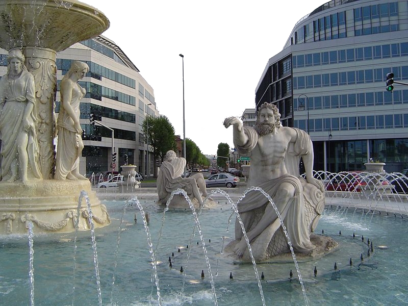
Massy
- commune in Essonne, France
- Country:
- Postal Code: 91300
- Coordinates: 48° 43' 50" N, 2° 16' 35" E
- GPS tracks (wikiloc): [Link]
- Area: 9.43 sq km
- Population: 48363
- Web site: [Link]