Vic-en-Bigorre (Vic-en-Bigorre)
- commune in Hautes-Pyrénées, France
- Country:

- Postal Code: 65500
- Coordinates: 43° 23' 8" N, 0° 3' 11" E


- GPS tracks (wikiloc): [Link]
- Area: 31.93 sq km
- Population: 5030
- Web site: http://www.vic-bigorre.fr
- Wikipedia en: wiki(en)
- Wikipedia: wiki(fr)
- Wikidata storage: Wikidata: Q1324316
- Wikipedia Commons Category: [Link]
- Freebase ID: [/m/03nv4kb]
- Freebase ID: [/m/03nv4kb]
- GeoNames ID: Alt: [2969401]
- GeoNames ID: Alt: [2969401]
- SIREN number: [216504605]
- SIREN number: [216504605]
- BnF ID: [15270889f]
- BnF ID: [15270889f]
- VIAF ID: Alt: [136136082]
- VIAF ID: Alt: [136136082]
- Library of Congress authority ID: Alt: [n87814950]
- Library of Congress authority ID: Alt: [n87814950]
- PACTOLS thesaurus ID: [pcrtxGiqeLOTop]
- PACTOLS thesaurus ID: [pcrtxGiqeLOTop]
- MusicBrainz area ID: [6a70005d-f9db-4c50-8a50-71024327a241]
- MusicBrainz area ID: [6a70005d-f9db-4c50-8a50-71024327a241]
- INSEE municipality code: 65460
- INSEE municipality code: 65460
Shares border with regions:


Camalès
- commune in Hautes-Pyrénées, France
- Country:

- Postal Code: 65500
- Coordinates: 43° 21' 37" N, 0° 4' 29" E


- GPS tracks (wikiloc): [Link]
- Area: 4.67 sq km
- Population: 392

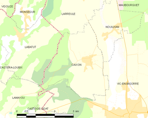
Caixon
- commune in Hautes-Pyrénées, France
- Country:

- Postal Code: 65500
- Coordinates: 43° 24' 35" N, 0° 1' 34" E


- GPS tracks (wikiloc): [Link]
- Area: 8.55 sq km
- Population: 378
- Web site: [Link]


Bazillac
- commune in Hautes-Pyrénées, France
- Country:

- Postal Code: 65140
- Coordinates: 43° 21' 17" N, 0° 6' 1" E


- GPS tracks (wikiloc): [Link]
- Area: 10.28 sq km
- Population: 343
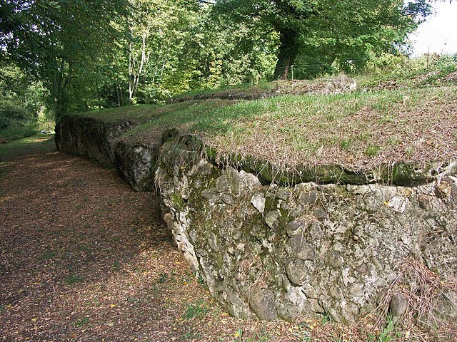

Saint-Lézer
- commune in Hautes-Pyrénées, France
- Country:

- Postal Code: 65500
- Coordinates: 43° 22' 7" N, 0° 1' 56" E


- GPS tracks (wikiloc): [Link]
- Area: 11.17 sq km
- Population: 417

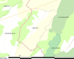
Sanous
- commune in Hautes-Pyrénées, France
- Country:

- Postal Code: 65500
- Coordinates: 43° 22' 40" N, 0° 0' 9" E


- GPS tracks (wikiloc): [Link]
- AboveSeaLevel: 230 м m
- Area: 1.63 sq km
- Population: 96


Pujo
- commune in Hautes-Pyrénées, France
- Country:

- Postal Code: 65500
- Coordinates: 43° 20' 52" N, 0° 3' 57" E


- GPS tracks (wikiloc): [Link]
- Area: 5.28 sq km
- Population: 635
- Web site: [Link]


Nouilhan
- commune in Hautes-Pyrénées, France
- Country:

- Postal Code: 65500
- Coordinates: 43° 25' 25" N, 0° 2' 19" E


- GPS tracks (wikiloc): [Link]
- Area: 4.53 sq km
- Population: 196
- Web site: [Link]


Artagnan
- commune in Hautes-Pyrénées, France
- Country:

- Postal Code: 65500
- Coordinates: 43° 24' 10" N, 0° 4' 33" E


- GPS tracks (wikiloc): [Link]
- Area: 4.94 sq km
- Population: 512

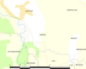
Gensac
- commune in Hautes-Pyrénées, France
- Country:

- Postal Code: 65140
- Coordinates: 43° 25' 55" N, 0° 5' 3" E


- GPS tracks (wikiloc): [Link]
- AboveSeaLevel: 197 м m
- Area: 3.44 sq km
- Population: 109


Sarriac-Bigorre
- commune in Hautes-Pyrénées, France
- Country:

- Postal Code: 65140
- Coordinates: 43° 22' 57" N, 0° 7' 39" E


- GPS tracks (wikiloc): [Link]
- Area: 10.8 sq km
- Population: 292
- Web site: [Link]

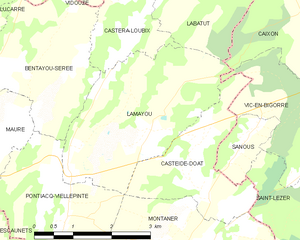
Lamayou
- commune in Pyrénées-Atlantiques, France
- Country:

- Postal Code: 64460
- Coordinates: 43° 22' 55" N, 0° 1' 39" E


- GPS tracks (wikiloc): [Link]
- Area: 9.51 sq km
- Population: 196
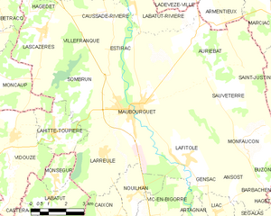
Maubourguet
- commune in Hautes-Pyrénées, France
- Country:

- Postal Code: 65700
- Coordinates: 43° 28' 5" N, 0° 2' 8" E


- GPS tracks (wikiloc): [Link]
- AboveSeaLevel: 181 м m
- Area: 22.04 sq km
- Population: 2440
- Web site: [Link]


Lafitole
- commune in Hautes-Pyrénées, France
- Country:

- Postal Code: 65700
- Coordinates: 43° 26' 38" N, 0° 4' 17" E


- GPS tracks (wikiloc): [Link]
- Area: 8.69 sq km
- Population: 481


Casteide-Doat
- commune in Pyrénées-Atlantiques, France
- Country:

- Postal Code: 64460
- Coordinates: 43° 22' 23" N, 0° 0' 46" E


- GPS tracks (wikiloc): [Link]
- Area: 5.34 sq km
- Population: 145
