Villegouge (Villegouge)

- commune in Gironde, France
- Country:

- Postal Code: 33141
- Coordinates: 44° 58' 2" N, 0° 18' 27" E


- GPS tracks (wikiloc): [Link]
- Area: 13.84 sq km
- Population: 1262
- Wikipedia en: wiki(en)
- Wikipedia: wiki(fr)
- Wikidata storage: Wikidata: Q1005109
- Wikipedia Commons Category: [Link]
- Freebase ID: [/m/03ns2wy]
- GeoNames ID: Alt: [2968726]
- SIREN number: [213305485]
- BnF ID: [152565947]
- INSEE municipality code: 33548
- GNS Unique Feature ID: -1476766
Shares border with regions:
Lugon-et-l'Île-du-Carney
- commune in Gironde, France
- Country:
- Postal Code: 33240
- Coordinates: 44° 57' 28" N, 0° 20' 27" E
- GPS tracks (wikiloc): [Link]
- AboveSeaLevel: 32 м m
- Area: 10.94 sq km
- Population: 1232
- Web site: [Link]

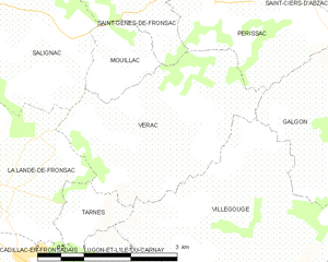
Vérac
- commune in Gironde, France
- Country:
- Postal Code: 33240
- Coordinates: 44° 59' 29" N, 0° 20' 28" E
- GPS tracks (wikiloc): [Link]
- Area: 8.59 sq km
- Population: 919


Galgon
- commune in Gironde, France
- Country:
- Postal Code: 33133
- Coordinates: 44° 59' 28" N, 0° 16' 21" E
- GPS tracks (wikiloc): [Link]
- AboveSeaLevel: 7 м m
- Area: 15.18 sq km
- Population: 3035
- Web site: [Link]


Saint-Germain-de-la-Rivière
- commune in Gironde, France
- Country:
- Postal Code: 33240
- Coordinates: 44° 56' 52" N, 0° 19' 57" E
- GPS tracks (wikiloc): [Link]
- Area: 4.28 sq km
- Population: 383


Tarnès
- commune in Gironde, France
- Country:
- Postal Code: 33240
- Coordinates: 44° 58' 32" N, 0° 21' 33" E
- GPS tracks (wikiloc): [Link]
- Area: 1.45 sq km
- Population: 297

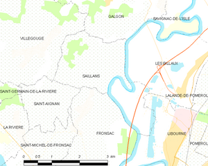
Saillans
- commune in Gironde, France
- Country:
- Postal Code: 33141
- Coordinates: 44° 57' 38" N, 0° 16' 33" E
- GPS tracks (wikiloc): [Link]
- Area: 6.22 sq km
- Population: 396
- Web site: [Link]


Saint-Aignan
- commune in Gironde, France
- Country:
- Postal Code: 33126
- Coordinates: 44° 56' 37" N, 0° 17' 54" E
- GPS tracks (wikiloc): [Link]
- Area: 2.75 sq km
- Population: 220