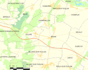
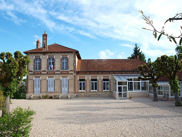
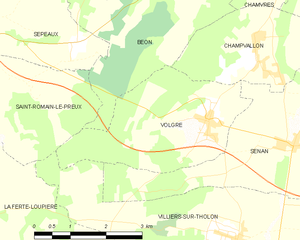
Villiers-sur-Tholon (Villiers-sur-Tholon)

- former commune in Yonne, France
- Country:

- Postal Code: 89110
- Coordinates: 47° 53' 18" N, 3° 20' 12" E


- GPS tracks (wikiloc): [Link]
- Area: 15.5 sq km
- Population: 480
- Wikipedia en: wiki(en)
- Wikipedia: wiki(fr)
- Wikidata storage: Wikidata: Q1373216
- Wikipedia Commons Category: [Link]
- Freebase ID: [/m/03npcwz]
- Freebase ID: [/m/03npcwz]
- GeoNames ID: Alt: [6446089]
- GeoNames ID: Alt: [6446089]
- BnF ID: [15279928p]
- BnF ID: [15279928p]
- INSEE municipality code: 89473
- INSEE municipality code: 89473
Shares border with regions:


Aillant-sur-Tholon
- former commune in Yonne, France
- Country:
- Postal Code: 89110
- Coordinates: 47° 52' 29" N, 3° 21' 3" E
- GPS tracks (wikiloc): [Link]
- Area: 18.2 sq km
- Population: 1404

Senan
- commune in Yonne, France
- Country:
- Postal Code: 89710
- Coordinates: 47° 54' 48" N, 3° 21' 33" E
- GPS tracks (wikiloc): [Link]
- Area: 17.54 sq km
- Population: 735

Laduz
- former commune in Yonne, France
- Country:
- Postal Code: 89110
- Coordinates: 47° 52' 54" N, 3° 24' 42" E
- GPS tracks (wikiloc): [Link]
- Area: 7.54 sq km
- Population: 322


Saint-Romain-le-Preux
- former commune in Yonne, France
- Country:
- Postal Code: 89116
- Coordinates: 47° 56' 2" N, 3° 14' 31" E
- GPS tracks (wikiloc): [Link]
- Area: 10.36 sq km
- Population: 196

Volgré
- former commune in Yonne, France
- Country:
- Postal Code: 89710
- Coordinates: 47° 55' 4" N, 3° 19' 38" E
- GPS tracks (wikiloc): [Link]
- Area: 9.55 sq km
- Population: 353


La Ferté-Loupière
- commune in Yonne, France
- Country:
- Postal Code: 89110
- Coordinates: 47° 53' 44" N, 3° 14' 8" E
- GPS tracks (wikiloc): [Link]
- Area: 30.48 sq km
- Population: 506