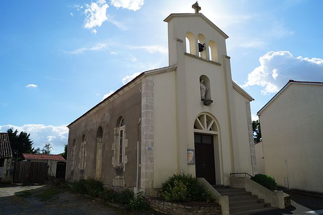
Vouillé-les-Marais (Vouillé-les-Marais)

- commune in Vendée, France
- Country:

- Postal Code: 85450
- Coordinates: 46° 23' 15" N, 0° 57' 49" E


- GPS tracks (wikiloc): [Link]
- Area: 9.14 sq km
- Population: 770
- Web site: http://www.vouille-les-marais.com
- Wikipedia en: wiki(en)
- Wikipedia: wiki(fr)
- Wikidata storage: Wikidata: Q1468555
- Wikipedia Commons Category: [Link]
- Freebase ID: [/m/03qhlwq]
- GeoNames ID: Alt: [2967645]
- SIREN number: [218503043]
- BnF ID: [15278424p]
- Library of Congress authority ID: Alt: [nr95045582]
- PACTOLS thesaurus ID: [pcrtG3l5BicSXJ]
- INSEE municipality code: 85304
Shares border with regions:


Chaillé-les-Marais
- commune in Vendée, France
- Country:
- Postal Code: 85450
- Coordinates: 46° 23' 48" N, 1° 1' 21" E
- GPS tracks (wikiloc): [Link]
- Area: 39.96 sq km
- Population: 1922
- Web site: [Link]


Le Langon
- commune in Vendée, France
- Country:
- Postal Code: 85370
- Coordinates: 46° 26' 16" N, 0° 56' 59" E
- GPS tracks (wikiloc): [Link]
- Area: 23.74 sq km
- Population: 1076
- Web site: [Link]
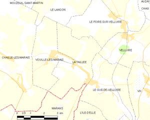
La Taillée
- commune in Vendée, France
- Country:
- Postal Code: 85450
- Coordinates: 46° 22' 46" N, 0° 55' 42" E
- GPS tracks (wikiloc): [Link]
- Area: 11.57 sq km
- Population: 575
- Web site: [Link]

Marans
- commune in Charente-Maritime, France
- Country:
- Postal Code: 17230
- Coordinates: 46° 18' 30" N, 0° 59' 34" E
- GPS tracks (wikiloc): [Link]
- Area: 82.49 sq km
- Population: 4553
- Web site: [Link]