Hochdorf Constituency (Wahlkreis Hochdorf)
- district in Switzerland
 Hiking in Hochdorf Constituency
Wahlkreis Hochdorf, located in the Swiss canton of Lucerne, offers a variety of stunning hiking opportunities. The region is characterized by beautiful landscapes, including rolling hills, wooded areas, and picturesque views of Lake Lucerne and the surrounding mountains. Here are some highlights and tips for hiking in this area:
Scenic Trails
-
Hochdorf to the boulder park: This relatively easy trail offers a great combination of natural beauty and unique rock formations. Ideal for families and novice hikers.
-
Uffikon - Rickenbach: A moderate trail that provides panoramic views of the countryside and connects small villages. Perfect for a day trip, with opportunities to catch some local culture.
-
Hiking along Lake Lucerne: There are several trails that follow the shores of Lake Lucerne, offering beautiful views of the water and mountains. These routes are generally well-marked and accessible.
-
Hiking in Dottie forest: Known for its lush forest trails, this area presents a peaceful hiking experience with the chance to spot local wildlife.
Best Times to Hike
- Spring and Fall: These seasons typically offer mild temperatures and stunning natural colors, making them ideal for hiking.
- Summer: While summer can be a great time for hiking, be mindful of heat, and pick early morning or late afternoon hikes to avoid the hottest parts of the day.
Preparation Tips
-
Check Trail Conditions: Before heading out, make sure to check the current trail conditions and weather forecasts.
-
Pack Accordingly: Bring plenty of water, snacks, a map or GPS, and wear sturdy hiking shoes.
-
Layer Your Clothing: Weather in the mountains can change rapidly, so it’s wise to dress in layers.
-
Follow Local Guidelines: Respect wildlife and local regulations, especially regarding trails that may have restrictions or require permits.
Accessibility
Hochdorf is fairly accessible from Lucerne and other nearby cities via public transportation, making it convenient for day hikers or those planning multi-day excursions.
Conclusion
Hiking in Wahlkreis Hochdorf can be a rewarding experience, providing a unique connection to nature, local history, and stunning views. Enjoy your hike, and always prioritize safety by being well-prepared!
- Country:

- Licence Plate Code: LU
- Coordinates: 47° 10' 14" N, 8° 17' 13" E


- GPS tracks (wikiloc): [Link]
- AboveSeaLevel: 479 м m
- Wikidata storage: Wikidata: Q1568996
- Wikipedia Commons Category: [Link]
- GeoNames ID: Alt: [8740969]
Includes regions:


Emmen
- municipality in the canton of Lucerne, Switzerland
Hiking in Emmen
Emmen, located in the canton of Lucerne in Switzerland, offers a variety of hiking opportunities amidst stunning landscapes and beautiful nature. While Emmen itself is more urban, it is strategically situated close to numerous hiking trails in the surrounding regions, including the nearby Swiss Alps....
- Country:
- Postal Code: 6032
- Local Dialing Code: 041
- Licence Plate Code: LU
- Coordinates: 47° 4' 38" N, 8° 18' 0" E
- GPS tracks (wikiloc): [Link]
- AboveSeaLevel: 429 м m
- Area: 20.37 sq km
- Population: 29292
- Web site: [Link]


Rothenburg
- municipality in the canton of Lucerne, Switzerland
Hiking in Rothenburg
Rothenburg is actually a reference to Rothenburg ob der Tauber, a well-known medieval town in Bavaria, Germany. However, if you're referring to Lucerne, Switzerland, it’s a beautiful area for hiking with stunning landscapes and diverse trails....
- Country:
- Postal Code: 6023
- Local Dialing Code: 041
- Licence Plate Code: LU
- Coordinates: 47° 5' 38" N, 8° 16' 18" E
- GPS tracks (wikiloc): [Link]
- AboveSeaLevel: 487 м m
- Area: 15.50 sq km
- Population: 7571
- Web site: [Link]


Eschenbach LU
- municipality in the canton of Lucerne, Switzerland
Hiking in Eschenbach LU
Eschenbach, located in the canton of Lucerne, Switzerland, is a picturesque village surrounded by beautiful landscapes and offers various hiking opportunities. The region is characterized by stunning views of the Swiss Alps, lush forests, and serene lakes, making it an ideal destination for hiking enthusiasts....
- Country:
- Postal Code: 6274
- Local Dialing Code: 041
- Licence Plate Code: LU
- Coordinates: 47° 7' 32" N, 8° 18' 44" E
- GPS tracks (wikiloc): [Link]
- AboveSeaLevel: 494 м m
- Area: 1321 sq km
- Population: 3589
- Web site: [Link]


Ballwil
- municipality in the canton of Lucerne, Switzerland
Hiking in Ballwil
Ballwil, a charming municipality in the canton of Lucerne, Switzerland, offers beautiful hiking opportunities in the surrounding area. The region features an array of trails that cater to various skill levels, ranging from easy walks to more challenging hikes....
- Country:
- Postal Code: 6275
- Local Dialing Code: 041
- Licence Plate Code: LU
- Coordinates: 47° 8' 59" N, 8° 18' 59" E
- GPS tracks (wikiloc): [Link]
- AboveSeaLevel: 511 м m
- Area: 8.77 sq km
- Population: 2786
- Web site: [Link]

Inwil
- municipality in the canton of Lucerne, Switzerland
Hiking in Inwil
Inwil, a charming municipality located in the canton of Lucerne in Switzerland, offers various opportunities for hiking enthusiasts. Nestled in the picturesque surroundings of central Switzerland, it's a great starting point for exploring the beautiful landscapes of the region....
- Country:
- Postal Code: 6034
- Local Dialing Code: 041
- Licence Plate Code: LU
- Coordinates: 47° 7' 44" N, 8° 22' 6" E
- GPS tracks (wikiloc): [Link]
- AboveSeaLevel: 515 м m
- Area: 10.32 sq km
- Population: 2557
- Web site: [Link]
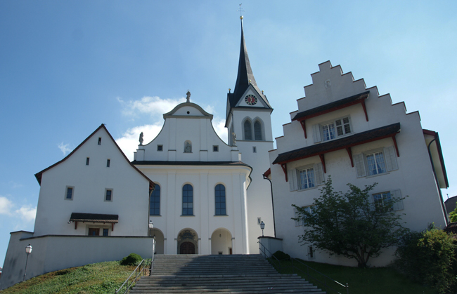

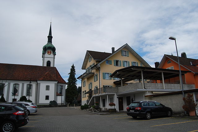
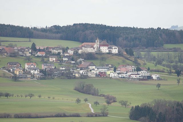
Hochdorf
- municipality in the canton of Lucerne, Switzerland
Hiking in Hochdorf
Hochdorf, located in the Lucerne region of Switzerland, offers a serene and scenic environment for hiking enthusiasts. The area is characterized by picturesque landscapes, featuring rolling hills, lush forests, and beautiful views of the surrounding mountains and lakes....
- Country:
- Postal Code: 6283; 6280
- Local Dialing Code: 041
- Licence Plate Code: LU
- Coordinates: 47° 9' 59" N, 8° 17' 20" E
- GPS tracks (wikiloc): [Link]
- AboveSeaLevel: 500 м m
- Area: 10.30 sq km
- Population: 9832
- Web site: [Link]


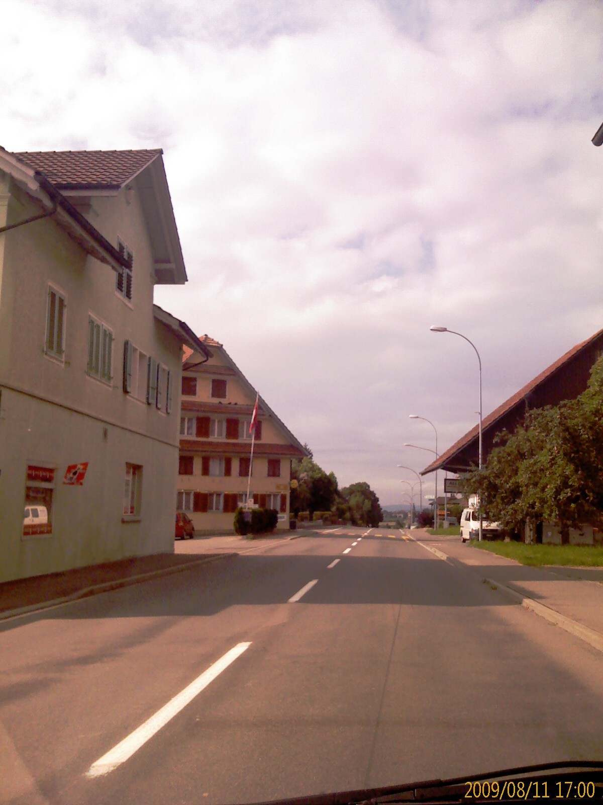
Rain
- municipality in the canton of Lucerne, Switzerland
Hiking in Rain
Hiking around Rain, near Lucerne in Switzerland, offers a wonderful blend of scenic beauty, diverse trails, and the enchanting backdrop of the Swiss Alps. Here are some details to help you explore the hiking opportunities in this region:...
- Country:
- Postal Code: 6026
- Local Dialing Code: 041
- Licence Plate Code: LU
- Coordinates: 47° 7' 51" N, 8° 15' 27" E
- GPS tracks (wikiloc): [Link]
- AboveSeaLevel: 590 м m
- Area: 9.42 sq km
- Population: 2770
- Web site: [Link]

Hohenrain
- municipality in the canton of Lucerne, Switzerland
Hiking in Hohenrain
Hohenrain is a scenic village located in the canton of Lucerne, Switzerland. It offers a delightful backdrop for hiking enthusiasts, with its picturesque landscapes, rolling hills, and views of the Swiss Alps. Here are some highlights about hiking in and around Hohenrain:...
- Country:
- Postal Code: 6276
- Local Dialing Code: 041
- Licence Plate Code: LU
- Coordinates: 47° 10' 51" N, 8° 19' 4" E
- GPS tracks (wikiloc): [Link]
- AboveSeaLevel: 604 м m
- Area: 23.52 sq km
- Population: 2474
- Web site: [Link]


Römerswil
- municipality in the canton of Lucerne, Switzerland
Hiking in Römerswil
Römerswil is a charming area located in the Canton of Lucerne, Switzerland, known for its picturesque landscapes and serene hiking trails. Hiking in Römerswil offers an excellent opportunity to experience the natural beauty of the region, as well as its peaceful rural atmosphere....
- Country:
- Postal Code: 6027, 6028
- Local Dialing Code: 041
- Licence Plate Code: LU
- Coordinates: 47° 10' 17" N, 8° 15' 14" E
- GPS tracks (wikiloc): [Link]
- AboveSeaLevel: 647 м m
- Area: 16.65 sq km
- Population: 1769
- Web site: [Link]


Hitzkirch
- municipality in the canton of Lucerne, Switzerland
Hiking in Hitzkirch
Hitzkirch, located in the Canton of Luzern in Switzerland, is a charming town surrounded by beautiful landscapes perfect for hiking enthusiasts. The region is characterized by its rolling hills, idyllic farmland, and stunning views of the nearby mountains, making it an excellent destination for both casual walkers and experienced hikers....
- Country:
- Postal Code: 6284, 6285, 6289, 6295
- Local Dialing Code: 041
- Licence Plate Code: LU
- Coordinates: 47° 13' 30" N, 8° 15' 44" E
- GPS tracks (wikiloc): [Link]
- AboveSeaLevel: 499 м m
- Area: 28.30 sq km
- Population: 5201
- Web site: [Link]


Ermensee
- municipality in the canton of Lucerne, Switzerland
Hiking in Ermensee
Ermensee, located in the canton of Lucerne in Switzerland, is a lovely destination for hiking enthusiasts. This area is known for its serene lakeside views, rolling hills, and lush landscapes, making it perfect for both relaxed walks and more challenging hikes....
- Country:
- Postal Code: 6294
- Local Dialing Code: 041
- Licence Plate Code: LU
- Coordinates: 47° 13' 59" N, 8° 14' 0" E
- GPS tracks (wikiloc): [Link]
- AboveSeaLevel: 462 м m
- Area: 5.70 sq km
- Population: 984
- Web site: [Link]

Altwis
- municipality in the canton of Lucerne, Switzerland
Hiking in Altwis
Altwis is a beautiful area for hiking, situated in Switzerland, known for its stunning landscapes and diverse trails. Although Altwis may not be as commonly highlighted as some other Swiss hiking destinations, it offers a range of outdoor activities for both beginners and experienced hikers....
- Country:
- Postal Code: 6286
- Local Dialing Code: 041
- Licence Plate Code: LU
- Coordinates: 47° 14' 19" N, 8° 14' 59" E
- GPS tracks (wikiloc): [Link]
- AboveSeaLevel: 484 м m
- Area: 2.9 sq km
- Population: 438
- Web site: [Link]


Aesch
- municipality in the canton of Lucerne, Switzerland
Hiking in Aesch
Aesch is a small municipality located in the canton of Lucerne, Switzerland, surrounded by stunning natural landscapes that are ideal for hiking enthusiasts. The region offers a variety of trails that cater to different skill levels, from leisurely walks to more challenging hikes....
- Country:
- Local Dialing Code: 041
- Licence Plate Code: LU
- Coordinates: 47° 15' 17" N, 8° 14' 29" E
- GPS tracks (wikiloc): [Link]
- AboveSeaLevel: 482 м m
- Area: 5.80 sq km
- Population: 1205
- Web site: [Link]


Schongau
- municipality in the canton of Lucerne, Switzerland
Hiking in Schongau
Schongau, located in the Lucerne region of Switzerland, is a beautiful area that offers various hiking opportunities, catering to different skill levels and preferences. The scenic backdrop of the Swiss Alps and the stunning Lake Lucerne makes it a picturesque destination for hiking enthusiasts....
- Country:
- Postal Code: 6288
- Local Dialing Code: 041
- Licence Plate Code: LU
- Coordinates: 47° 16' 2" N, 8° 15' 29" E
- GPS tracks (wikiloc): [Link]
- AboveSeaLevel: 639 м m
- Area: 12.46 sq km
- Population: 1044
- Web site: [Link]