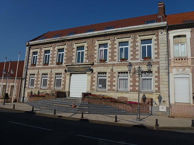
Warlaing (Warlaing)

- commune in Nord, France
- Country:

- Postal Code: 59870
- Coordinates: 50° 24' 37" N, 3° 19' 31" E


- GPS tracks (wikiloc): [Link]
- Area: 3.89 sq km
- Population: 560
- Wikipedia en: wiki(en)
- Wikipedia: wiki(fr)
- Wikidata storage: Wikidata: Q752386
- Wikipedia Commons Category: [Link]
- Freebase ID: [/m/03mgzrd]
- Freebase ID: [/m/03mgzrd]
- GeoNames ID: Alt: [2967458]
- GeoNames ID: Alt: [2967458]
- SIREN number: [215906421]
- SIREN number: [215906421]
- BnF ID: [152672131]
- BnF ID: [152672131]
- INSEE municipality code: 59642
- INSEE municipality code: 59642
Shares border with regions:


Tilloy-lez-Marchiennes
- commune in Nord, France
- Country:
- Postal Code: 59870
- Coordinates: 50° 25' 42" N, 3° 19' 7" E
- GPS tracks (wikiloc): [Link]
- Area: 5.5 sq km
- Population: 541


Marchiennes
- commune in Nord, France
- Country:
- Postal Code: 59870
- Coordinates: 50° 24' 29" N, 3° 16' 56" E
- GPS tracks (wikiloc): [Link]
- Area: 21.44 sq km
- Population: 4621
- Web site: [Link]

Hasnon
- commune in Nord, France
- Country:
- Postal Code: 59178
- Coordinates: 50° 25' 16" N, 3° 23' 12" E
- GPS tracks (wikiloc): [Link]
- Area: 12.74 sq km
- Population: 3861
- Web site: [Link]


Wandignies-Hamage
- commune in Nord, France
- Country:
- Postal Code: 59870
- Coordinates: 50° 23' 58" N, 3° 18' 52" E
- GPS tracks (wikiloc): [Link]
- Area: 6.3 sq km
- Population: 1275