Yvrencheux (Yvrencheux)

- commune in Somme, France
- Country:

- Postal Code: 80150
- Coordinates: 50° 10' 54" N, 1° 59' 32" E


- GPS tracks (wikiloc): [Link]
- Area: 6.01 sq km
- Population: 130
- Wikipedia en: wiki(en)
- Wikipedia: wiki(fr)
- Wikidata storage: Wikidata: Q753185
- Wikipedia Commons Category: [Link]
- Freebase ID: [/m/03qm856]
- GeoNames ID: Alt: [2967172]
- SIREN number: [218007805]
- BnF ID: [152773036]
- INSEE municipality code: 80833
Shares border with regions:


Gapennes
- commune in Somme, France
- Country:
- Postal Code: 80150
- Coordinates: 50° 11' 0" N, 1° 57' 11" E
- GPS tracks (wikiloc): [Link]
- Area: 11.37 sq km
- Population: 271

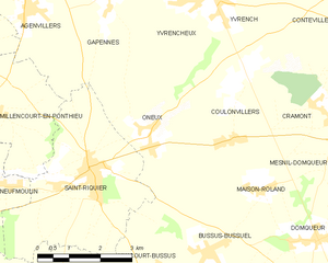
Oneux
- commune in Somme, France
- Country:
- Postal Code: 80135
- Coordinates: 50° 8' 43" N, 1° 58' 15" E
- GPS tracks (wikiloc): [Link]
- Area: 12.49 sq km
- Population: 378

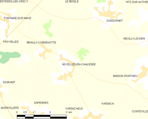
Noyelles-en-Chaussée
- commune in Somme, France
- Country:
- Postal Code: 80150
- Coordinates: 50° 12' 29" N, 1° 58' 49" E
- GPS tracks (wikiloc): [Link]
- Area: 10.47 sq km
- Population: 248


Yvrench
- commune in Somme, France
- Country:
- Postal Code: 80150
- Coordinates: 50° 10' 43" N, 2° 0' 16" E
- GPS tracks (wikiloc): [Link]
- Area: 9.29 sq km
- Population: 316