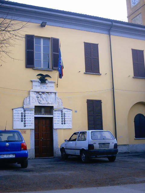
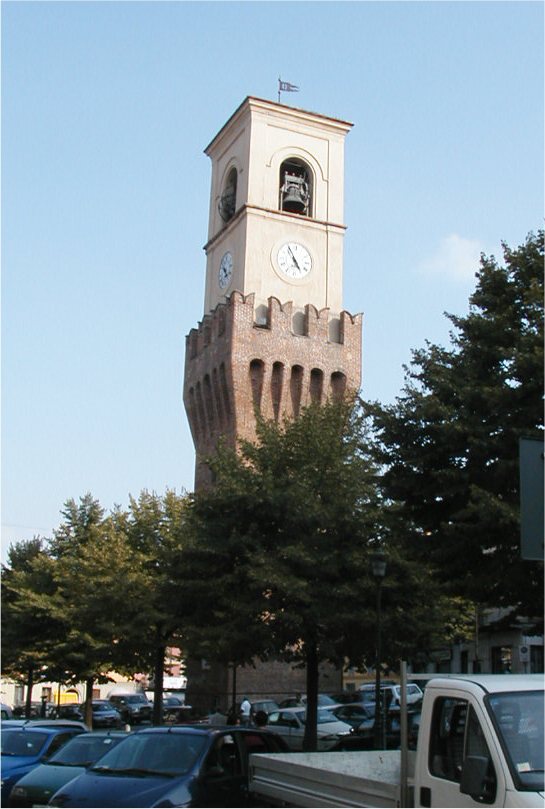
Zenevredo (Zenevredo)
.svg)
- Italian comune
 Hiking in Zenevredo
Zenevredo is a lesser-known gem located in the Italian region of Lombardy, nestled in the heart of the Apennine Mountains. The area is characterized by its breathtaking landscapes, rolling hills, and natural beauty, making it an excellent destination for hikers and outdoor enthusiasts.
Hiking Opportunities in Zenevredo
-
Scenic Trails: The region offers a variety of trails ranging from easy walks to more challenging hikes. You can explore paths that meander through forests, alongside rivers, and up to breathtaking viewpoints.
-
Nature and Wildlife: The lush environment is home to diverse flora and fauna, making it a great place for nature enthusiasts. Keep an eye out for local wildlife, including deer, birds, and various plant species.
-
Cultural Aspects: Hiking in Zenevredo provides an opportunity to experience the local culture. You might encounter small villages, historical sites, and local cuisine, enhancing your overall experience.
-
Best Time to Hike: The ideal time for hiking in this area is during spring (April to June) and early autumn (September to October) when temperatures are mild and the scenery is vibrant.
-
Tips for Hikers:
- Always check local trail maps and conditions before you head out.
- Dress in layers, as temperatures can vary throughout the day.
- Bring plenty of water and snacks, especially for longer hikes.
- Consider hiring a local guide if you are unfamiliar with the area.
If you're looking for a combination of natural beauty, cultural experiences, and a bit of adventure, Zenevredo is a fantastic choice for hiking. Whether you are a beginner or an experienced hiker, you'll find something to suit your tastes!
- Country:

- Postal Code: 27049
- Local Dialing Code: 0385
- Licence Plate Code: PV
- Coordinates: 45° 3' 0" N, 9° 20' 0" E


- GPS tracks (wikiloc): [Link]
- AboveSeaLevel: 204 м m
- Area: 5.4 sq km
- Population: 476
- Web site: http://www.comune.zenevredo.pv.it
- Wikipedia en: wiki(en)
- Wikipedia: wiki(it)
- Wikidata storage: Wikidata: Q39741
- Wikipedia Commons Category: [Link]
- Freebase ID: [/m/0gjy61]
- GeoNames ID: Alt: [6542655]
- OSM relation ID: [44101]
- ISTAT ID: 018187
- Italian cadastre code: M162
Shares border with regions:
Arena Po
- Italian comune
Hiking in Arena Po
Arena Po is a beautiful destination for hiking enthusiasts located in Italy, nestled in the stunning landscapes of the Emilia-Romagna region. This area is known for its picturesque natural scenery, rolling hills, and diverse trails that cater to various skill levels....
- Country:
- Postal Code: 27040
- Local Dialing Code: 0385
- Licence Plate Code: PV
- Coordinates: 45° 4' 0" N, 9° 21' 0" E
- GPS tracks (wikiloc): [Link]
- AboveSeaLevel: 61 м m
- Area: 22.49 sq km
- Population: 1588
- Web site: [Link]


Montù Beccaria
- Italian comune
Hiking in Montù Beccaria
Montù Beccaria, located in the province of Pavia in Italy, is a charming destination for hiking enthusiasts. The area is part of the Oltrepò Pavese region, known for its picturesque landscapes, vineyards, and gentle rolling hills. Here are some key points to consider when planning a hiking trip to Montù Beccaria:...
- Country:
- Postal Code: 27040
- Local Dialing Code: 0385
- Licence Plate Code: PV
- Coordinates: 45° 2' 0" N, 9° 19' 0" E
- GPS tracks (wikiloc): [Link]
- AboveSeaLevel: 280 м m
- Area: 15.49 sq km
- Population: 1641
- Web site: [Link]

Bosnasco
- Italian comune
Hiking in Bosnasco
Bosnasco, a small municipality in the Lombardy region of Italy, offers a unique blend of rolling hills, scenic landscapes, and rich cultural heritage that can make for a pleasant hiking experience. Here are some key points to consider when hiking in and around Bosnasco:...
- Country:
- Postal Code: 27049
- Local Dialing Code: 0385
- Licence Plate Code: PV
- Coordinates: 45° 4' 0" N, 9° 21' 0" E
- GPS tracks (wikiloc): [Link]
- AboveSeaLevel: 124 м m
- Area: 4.84 sq km
- Population: 623
- Web site: [Link]

Stradella
- Italian comune
Hiking in Stradella
Hiking in Stradella, Lombardy, offers a unique blend of natural beauty and cultural experiences. This small town is located in the province of Pavia, surrounded by hills and vineyards, making it an appealing destination for outdoor enthusiasts....
- Country:
- Postal Code: 27049
- Local Dialing Code: 0385
- Licence Plate Code: PV
- Coordinates: 45° 5' 0" N, 9° 18' 0" E
- GPS tracks (wikiloc): [Link]
- AboveSeaLevel: 101 м m
- Area: 18 sq km
- Population: 11658
- Web site: [Link]