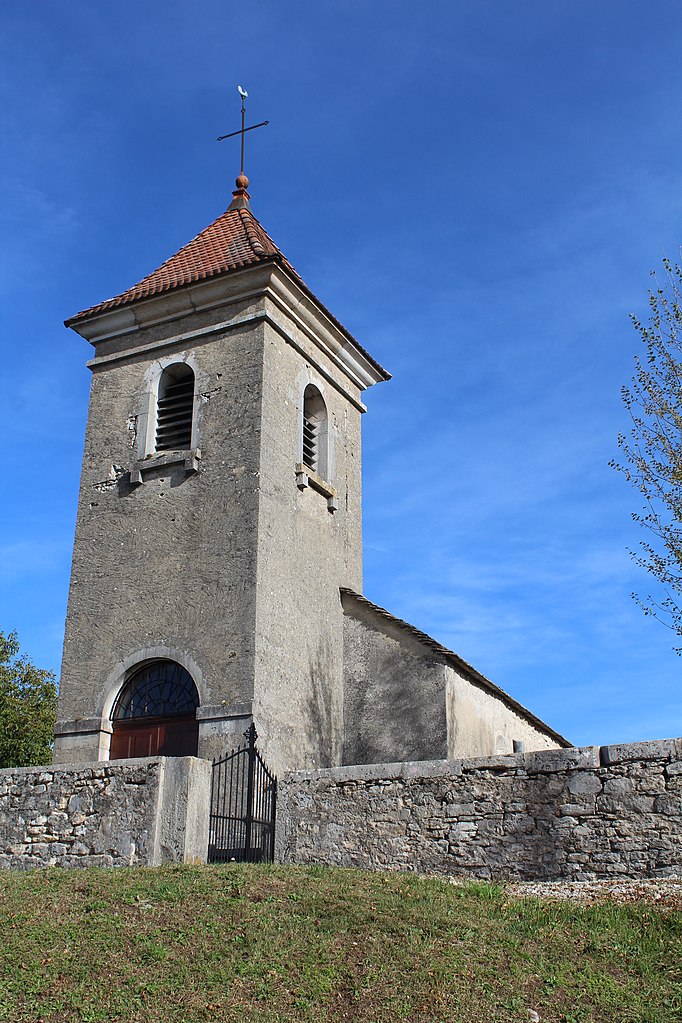
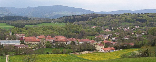
Лейсар (Leyssard, Leyssard)
- коммуна во Франции
 Hiking in Лейсар
Leyssard may not be a widely recognized hiking destination, so it might be useful to clarify if you're referring to a specific area or if there's a local name you're using for a location.
If you're looking for hiking opportunities in the surrounding regions, many areas in Europe and America offer stunning trails for varying skill levels. Depending on the location, you can find:
- Scenic Trails: Many hiking areas are known for their scenic vistas, such as mountains, lakes, and rivers.
- Wildlife Viewing: Some trails will take you through areas rich in wildlife, giving you a chance to observe animals in their natural habitat.
- Cultural Sites: Many hiking paths also lead to historical or cultural sites that enrich your experience.
- Difficulty Levels: Trails range from easy, family-friendly walks to challenging mountain ascents, catering to all skill levels.
If you can provide more details about Leyssard, such as its country or region, I can offer more tailored information about hiking opportunities in that area!
- Страна:

- Почтовый код: 01450
- Координаты: 46° 9' 21" N, 5° 28' 33" E


- GPS треки (wikiloc): [Ссылка]
- Площадь: 9.13 кв.км
- Население: 154
- Википедия русская: wiki(ru)
- Википедия английская: wiki(en)
- Википедия национальная: wiki(fr)
- Хранилище Wikidata: Wikidata: Q853394
- Катеория в википедии: [Ссылка]
- Карты в википедии: [Ссылка]
- код Freebase: [/m/03h3s1b]
- код Freebase: [/m/03h3s1b]
- код GeoNames: Альт: [2998678]
- код GeoNames: Альт: [2998678]
- номер SIREN: [210102141]
- номер SIREN: [210102141]
- код BNF: [12507874r]
- код BNF: [12507874r]
- код муниципалитета INSEE: 01214
- код муниципалитета INSEE: 01214
Граничит с регионами:

Болозон
- коммуна во Франции
Hiking in Болозон
Bolozon, located in the Jura region of France, is known for its stunning landscapes and natural beauty, making it an ideal destination for hiking enthusiasts. Here’s what you can expect when hiking in Bolozon:...
- Страна:
- Почтовый код: 01450
- Координаты: 46° 11' 34" N, 5° 28' 28" E
- GPS треки (wikiloc): [Ссылка]
- Площадь: 4.92 кв.км
- Население: 89

Нюрьё-Волонья
- коммуна во Франции
Hiking in Нюрьё-Волонья
Nurieux-Volognat is a charming commune located in the Ain department in the Auvergne-Rhône-Alpes region of France. Nestled in the foothills of the Jura Mountains, it offers a variety of hiking opportunities with stunning natural landscapes, diverse flora, and fauna....
- Страна:
- Почтовый код: 01460
- Координаты: 46° 10' 49" N, 5° 31' 19" E
- GPS треки (wikiloc): [Ссылка]
- Площадь: 19.34 кв.км
- Население: 1028
- Веб сайт: [Ссылка]
Сонтонна-ла-Монтань
- коммуна во Франции
Hiking in Сонтонна-ла-Монтань
Sonthonnax-la-Montagne is a charming commune in the Ain department of the Auvergne-Rhône-Alpes region in France. Nestled in the countryside, it offers a variety of scenic hiking opportunities that showcase the natural beauty of the area....
- Страна:
- Почтовый код: 01580
- Координаты: 46° 13' 59" N, 5° 31' 27" E
- GPS треки (wikiloc): [Ссылка]
- Площадь: 14.14 кв.км
- Население: 321
- Веб сайт: [Ссылка]
Пейрья
- коммуна во Франции
Hiking in Пейрья
Peyriat is a lesser-known hiking destination, so details may vary depending on the specific area you’re referring to, as there might be various trails, landscapes, and attractions. However, if you are looking for a hiking experience in the region around Peyriat, here are some general tips and information:...
- Страна:
- Почтовый код: 01430
- Координаты: 46° 9' 15" N, 5° 30' 37" E
- GPS треки (wikiloc): [Ссылка]
- Площадь: 5.96 кв.км
- Население: 171

Шаль-ла-Монтань
- коммуна во Франции
Hiking in Шаль-ла-Монтань
Challes-la-Montagne, located in the Auvergne region of France, is known for its beautiful natural landscapes that offer great hiking opportunities. Here are some aspects you might consider if you plan to hike in that area:...
- Страна:
- Почтовый код: 01450
- Координаты: 46° 7' 30" N, 5° 27' 52" E
- GPS треки (wikiloc): [Ссылка]
- Площадь: 7.65 кв.км
- Население: 189

Сень
- коммуна во Франции, департамент Эн
Hiking in Сень
Ceignes is a picturesque area that attracts hikers with its stunning landscapes, diverse trails, and natural beauty. Located in the Jura region of France, it offers a variety of hiking opportunities for all skill levels. Here are some highlights for hiking in Ceignes:...
- Страна:
- Почтовый код: 01430
- Координаты: 46° 7' 13" N, 5° 29' 57" E
- GPS треки (wikiloc): [Ссылка]
- Площадь: 10.01 кв.км
- Население: 256

Серьер-сюр-Эн
- коммуна во Франции
Hiking in Серьер-сюр-Эн
Serrières-sur-Ain is a charming village located in the Ain department of the Auvergne-Rhône-Alpes region in eastern France. The area is known for its picturesque landscapes, including rolling hills, forests, and the flow of the Ain River, making it an excellent spot for hiking enthusiasts....
- Страна:
- Почтовый код: 01450
- Координаты: 46° 9' 10" N, 5° 27' 4" E
- GPS треки (wikiloc): [Ссылка]
- Площадь: 8.18 кв.км
- Население: 128