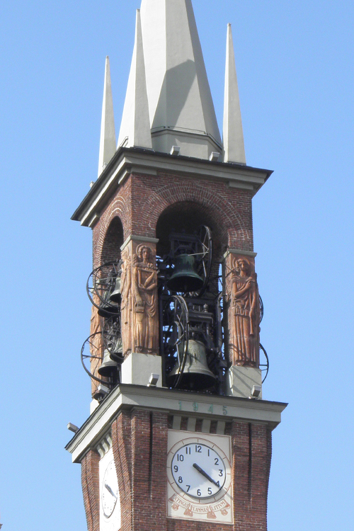
Оссона (Ossona, Ossona)
.svg)
- коммуна Италии
 Hiking in Оссона
Hiking in Ossona, a town in the Lombardy region of Italy, can be a delightful experience, as it offers a charming mix of nature and cultural sights. While Ossona itself is not a prominent hiking destination, it is located near larger natural areas and parks that provide great opportunities for outdoor activities.
Here are a few things to consider when hiking in and around Ossona:
1.
- Parco del Ticino: Located not far from Ossona, this regional park offers beautiful trails along the Ticino River. You can explore various paths that provide scenic views, diverse wildlife, and opportunities for birdwatching.
- Narrow trails and country roads: Ossona is surrounded by picturesque countryside, where you can find less-trodden paths ideal for leisurely walks and hikes.
2.
- The hiking trails in the nearby areas typically range from easy to moderate. This makes them suitable for families, beginners, and casual hikers looking to enjoy the beauty of nature.
3.
- When hiking in and around Ossona, you can also enjoy local historical sites. Consider planning your route to include visits to small churches or historical buildings that reflect the region's rich culture.
4.
- Spring and autumn are ideal times for hiking in this region. During these seasons, the weather is generally mild, and the landscapes are vibrant with blooming flowers in spring or colorful foliage in autumn.
5.
- Ensure you have appropriate hiking gear, including sturdy shoes, enough water, snacks, and a map of the trails. Although the area is not mountainous, proper footwear is essential for comfort on varied terrain.
6.
- It may also be helpful to connect with local hiking groups or guides who can offer insights into the best routes and hidden gems in the area.
Conclusion:
While Ossona may not be a widely recognized hiking hub, its proximity to beautiful landscapes and cultural sites makes it a worthy place to explore on foot. Enjoy your hiking adventures and the chance to discover this lovely part of Italy!
- Страна:

- Почтовый код: 20010
- Телефонный код: 02
- Код автомобильного номера: MI
- Координаты: 45° 30' 0" N, 8° 54' 0" E


- GPS треки (wikiloc): [Ссылка]
- Высота над уровнем моря: 156 м m
- Площадь: 5.98 кв.км
- Население: 4288
- Веб сайт: http://www.comunediossona.it/
- Википедия русская: wiki(ru)
- Википедия английская: wiki(en)
- Википедия национальная: wiki(it)
- Хранилище Wikidata: Wikidata: Q42535
- Катеория в википедии: [Ссылка]
- код Freebase: [/m/0gj6zf]
- код GeoNames: Альт: [6537126]
- код VIAF: Альт: [241227209]
- ID отношения в OpenStreetMap: [45167]
- WOEID: [719679]
- UN/LOCODE: [ITOON]
- код ISTAT: 015164
- кадастровый код Италии: G181
Граничит с регионами:


Маркалло-кон-Казоне
- коммуна Италии
Hiking in Маркалло-кон-Казоне
Marcallo con Casone is a small municipality in the Lombardy region of Italy, near Milan. While it may not be the most famous hiking destination in Italy, it has its own charm and offers some opportunities for outdoor activities. Here are some insights on hiking in and around Marcallo con Casone:...
- Страна:
- Почтовый код: 20010
- Телефонный код: 02
- Код автомобильного номера: MI
- Координаты: 45° 29' 53" N, 8° 52' 35" E
- GPS треки (wikiloc): [Ссылка]
- Высота над уровнем моря: 147 м m
- Площадь: 8.21 кв.км
- Население: 6254
- Веб сайт: [Ссылка]

Инверуно
- коммуна Италии
Hiking in Инверуно
Inveruno, a small town located in the Lombardy region of Italy, may not be the first destination that comes to mind for hiking, but it does offer some charming routes and nearby areas that can be explored on foot. While the town itself is more suburban and agricultural, here are some tips for hiking around Inveruno and in the surrounding areas:...
- Страна:
- Почтовый код: 20010
- Телефонный код: 02
- Код автомобильного номера: MI
- Координаты: 45° 31' 0" N, 8° 51' 0" E
- GPS треки (wikiloc): [Ссылка]
- Высота над уровнем моря: 161 м m
- Площадь: 12.14 кв.км
- Население: 8608
- Веб сайт: [Ссылка]
Казореццо
- коммуна Италии
Hiking in Казореццо
Casorezzo is a small town located in the Lombardy region of Italy, not far from larger cities like Milan. While it may not be a widely recognized hiking destination, there are still opportunities for walking and enjoying the outdoors in the surrounding areas....
- Страна:
- Почтовый код: 20010
- Телефонный код: 02
- Код автомобильного номера: MI
- Координаты: 45° 31' 0" N, 8° 54' 0" E
- GPS треки (wikiloc): [Ссылка]
- Высота над уровнем моря: 166 м m
- Площадь: 6.6 кв.км
- Население: 5467
- Веб сайт: [Ссылка]


Арлуно
- коммуна Италии
Hiking in Арлуно
Arluno, situated in the Lombardy region of Italy, is not widely known as a hiking destination compared to some other areas in Italy. However, there are opportunities for nature walks and light hiking in and around the area, with the surrounding countryside offering some pleasant trails....
- Страна:
- Почтовый код: 20010
- Телефонный код: 02
- Код автомобильного номера: MI
- Координаты: 45° 30' 0" N, 8° 56' 0" E
- GPS треки (wikiloc): [Ссылка]
- Высота над уровнем моря: 156 м m
- Площадь: 12.36 кв.км
- Население: 11807
- Веб сайт: [Ссылка]


Мезеро
- коммуна Италии
Hiking in Мезеро
Mesero is a small town located in the Lombardy region of Italy, near the larger town of Magenta. While it may not be as widely known for hiking as some other regions in Italy, there are still beautiful trails and natural areas in and around Mesero that can offer a pleasant hiking experience....
- Страна:
- Почтовый код: 20010
- Телефонный код: 02
- Код автомобильного номера: MI
- Координаты: 45° 30' 0" N, 8° 51' 0" E
- GPS треки (wikiloc): [Ссылка]
- Высота над уровнем моря: 154 м m
- Площадь: 5.64 кв.км
- Население: 4159
- Веб сайт: [Ссылка]


Санто-Стефано-Тичино
- коммуна Италии
Hiking in Санто-Стефано-Тичино
Santo Stefano Ticino is a charming municipality located in the metropolitan area of Milan, Italy. While it's not widely known for rugged hiking trails like some of the more mountainous regions of Italy, it offers a few opportunities for pleasant walks in a picturesque setting....
- Страна:
- Почтовый код: 20010
- Телефонный код: 02
- Код автомобильного номера: MI
- Координаты: 45° 29' 0" N, 8° 55' 0" E
- GPS треки (wikiloc): [Ссылка]
- Высота над уровнем моря: 152 м m
- Площадь: 5.01 кв.км
- Население: 4954
- Веб сайт: [Ссылка]