
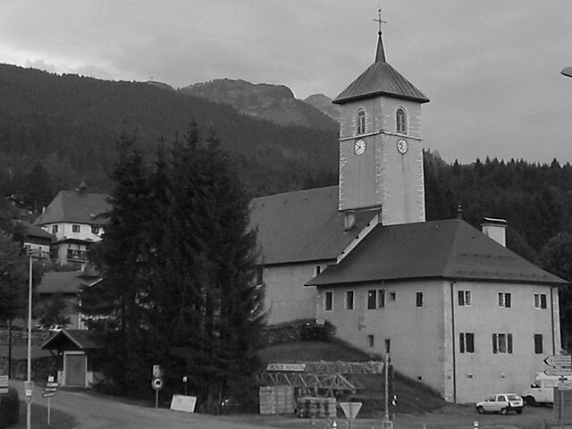
Сикст-Фер-а-Шеваль (Sixt-Fer-à-Cheval, Sixt-Fer-à-Cheval)

- коммуна во Франции
 Hiking in Сикст-Фер-а-Шеваль
Sixt-Fer-à-Cheval is a stunning location in the French Alps, renowned for its breathtaking scenery and well-maintained hiking trails. It's located in the Haute-Savoie region and is part of the larger Sixt-Fer-à-Cheval Nature Reserve, which boasts impressive geological formations, waterfalls, and lush green valleys.
Hiking Opportunities:
-
Trail Diversity: The area offers a variety of trails that cater to hikers of different skill levels—ranging from easy walks suitable for families to challenging treks for experienced hikers.
-
Grand Cirque de Sixt: One of the most popular hikes is the loop around the Grand Cirque de Sixt, which provides stunning views of the dramatic cliffs and majestic waterfalls. The route usually takes about 4-6 hours to complete, so it's a good idea to start early in the day.
-
Cascade de la Vogealle: A relatively easy hike leads to the beautiful cascade. The trail is accessible and showcases the area's natural beauty without requiring a strenuous effort.
-
Mountain Passes: For more adventurous hikers, there are trails that lead to higher mountain passes like the Col de la Praz or the Col de la Combe, which provide spectacular panoramic views of the Mont Blanc range.
-
Wildlife Watching: Hikers may also spot various wildlife in the area, including ibex, chamois, marmots, and a wide array of bird species.
Best Season to Hike:
-
Summer (June to September): This is the ideal season for hiking, as the weather is generally warm and the trails are clear of snow. Wildflowers bloom throughout the valleys, adding vibrant color to the landscape.
-
Autumn (October): Early October can be beautiful with autumn foliage, but be aware that the weather can change rapidly in the mountains.
Important Tips:
-
Prepare Properly: Always check the weather forecast before heading out and dress in layers, as temperatures can vary greatly throughout the day.
-
Footwear: Wear sturdy hiking boots for good ankle support, especially if your trail includes rocky or uneven terrain.
-
Stay Hydrated: Carry sufficient water and snacks. Some trails might not have reliable sources of water.
-
Navigation: While many trails are well-marked, having a map or a GPS device can help you stay on track.
-
Respect Nature: Follow Leave No Trace principles to help preserve the natural beauty of the area.
Hiking in Sixt-Fer-à-Cheval offers a fantastic opportunity to fully immerse yourself in the natural beauty of the Alps, providing both a physical challenge and breathtaking vistas. Enjoy your adventure!
- Страна:

- Почтовый код: 74740
- Координаты: 46° 3' 19" N, 6° 46' 32" E


- GPS треки (wikiloc): [Ссылка]
- Высота над уровнем моря: 760 м m
- Площадь: 119.07 кв.км
- Население: 775
- Веб сайт: http://www.sixtferacheval.com
- Википедия английская: wiki(en)
- Википедия национальная: wiki(fr)
- Хранилище Wikidata: Wikidata: Q768759
- Катеория в википедии: [Ссылка]
- код Freebase: [/m/03g_htd]
- код GeoNames: Альт: [6617617]
- номер SIREN: [217402734]
- код BNF: [152745271]
- код VIAF: Альт: [263317264]
- код GND: Альт: [1026294142]
- код муниципалитета INSEE: 74273
Граничит с регионами:


Passy
Hiking in Passy
Passy, located in the Haute-Savoie region of France, is a beautiful destination for hiking enthusiasts with its stunning alpine scenery and diverse trails. Here are some highlights and tips for hiking in and around Passy:...
- Страна:
- Почтовый код: 74480
- Координаты: 45° 55' 25" N, 6° 41' 11" E
- GPS треки (wikiloc): [Ссылка]
- Площадь: 80.03 кв.км
- Население: 11011
- Веб сайт: [Ссылка]

Arâches-la-Frasse
- коммуна во Франции
Hiking in Arâches-la-Frasse
Arâches-la-Frasse is a charming commune located in the Haute-Savoie region of the French Alps. It is known for its stunning landscapes and proximity to the Grand Massif ski area, which also offers numerous hiking opportunities during the warmer months....
- Страна:
- Почтовый код: 74300
- Координаты: 46° 2' 36" N, 6° 37' 53" E
- GPS треки (wikiloc): [Ссылка]
- Площадь: 37.69 кв.км
- Население: 1928


Самоэнс
- коммуна во Франции
Hiking in Самоэнс
Samoëns is a beautiful village located in the Haute-Savoie region of the French Alps. It is known for its stunning scenery, traditional architecture, and excellent outdoor recreational opportunities, making it a fantastic destination for hiking enthusiasts. Here are some key points to consider when hiking in Samoëns:...
- Страна:
- Почтовый код: 74340
- Координаты: 46° 5' 2" N, 6° 43' 38" E
- GPS треки (wikiloc): [Ссылка]
- Высота над уровнем моря: 710 м m
- Площадь: 97.29 кв.км
- Население: 2396
- Веб сайт: [Ссылка]


Валорсин
- коммуна во Франции
Hiking in Валорсин
Vallorcine is a beautiful village located in the Chamonix Mont-Blanc region of the French Alps, and it's a fantastic destination for hiking enthusiasts. Nestled in a picturesque valley, Vallorcine offers a variety of trails suitable for different skill levels, ranging from gentle walks to more challenging hikes....
- Страна:
- Почтовый код: 74660
- Координаты: 46° 2' 4" N, 6° 55' 59" E
- GPS треки (wikiloc): [Ссылка]
- Площадь: 44.57 кв.км
- Население: 394
- Веб сайт: [Ссылка]