Треффор (Treffort, Treffort)

- коммуна во Франции
 Hiking in Треффор
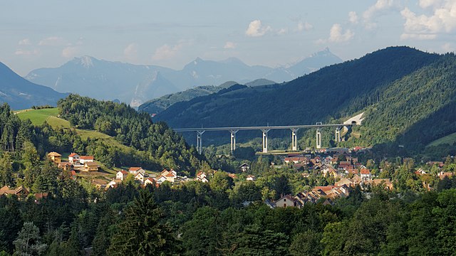
Treffort is a charming village located in the Auvergne-Rhône-Alpes region of southeastern France. It is surrounded by picturesque landscapes that offer a variety of hiking opportunities. Here’s what you can expect when hiking in and around Treffort:
Trails and Routes
-
Local Trails: There are several marked trails around Treffort that vary in difficulty, from easy walks suitable for families to more challenging routes for seasoned hikers. These trails often take you through lush forests, beautiful meadows, and alongside streams.
-
Scenic Views: The area around Treffort is known for its stunning views, including the Jura Mountains to the east and rolling hills typical of the Auvergne region. Look for vantage points along the trails for panoramic views.
-
Connecting Routes: Many trails connect to larger networks, such as the "GR" (Grande Randonnée) hiking paths. You can plan longer hikes or multi-day trekking routes if you're up for an adventure.
Flora and Fauna
- As you hike, you'll encounter diverse flora, including native tree species and wildflowers. The region is also home to various wildlife, so be on the lookout for birds, deer, and other animals.
Best Time to Hike
- Spring and Fall are usually the best times for hiking in this region, as the weather is mild, and the scenery is especially beautiful with blooming flowers or colorful autumn leaves.
Tips for Hiking in Treffort
- Maps and Guides: Carry a map of the trails, or use a hiking app to help navigate.
- Footwear: Wear sturdy hiking boots to tackle varied terrain comfortably.
- Safety: Prepare for changing weather conditions by dressing in layers and bringing adequate supplies, including water and snacks.
- Respect Nature: Follow the Leave No Trace principles to keep the environment pristine for future hikers.
Local Amenities
- After a hike, you might enjoy visiting local cafes or restaurants in Treffort to sample regional specialties. The village exudes a welcoming atmosphere, making it a great spot to relax.
Overall, hiking in Treffort offers a delightful blend of natural beauty, adventure, and cultural experiences. Be sure to explore the area and enjoy everything it has to offer!
- Страна:

- Почтовый код: 38650
- Координаты: 44° 54' 56" N, 5° 39' 29" E


- GPS треки (wikiloc): [Ссылка]
- Высота над уровнем моря: 618 м m
- Площадь: 10.99 кв.км
- Население: 276
- Википедия русская: wiki(ru)
- Википедия английская: wiki(en)
- Википедия национальная: wiki(fr)
- Хранилище Wikidata: Wikidata: Q1150812
- Катеория в википедии: [Ссылка]
- код Freebase: [/m/03nvkrb]
- код GeoNames: Альт: [6616679]
- номер SIREN: [213805138]
- код BNF: [15258313b]
- код муниципалитета INSEE: 38513
Граничит с регионами:

Монестье-де-Клермон
- коммуна во Франции
Hiking in Монестье-де-Клермон
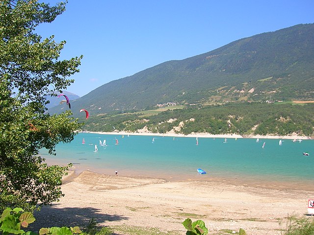
Monestier-de-Clermont, located in the picturesque Isère department in the Auvergne-Rhône-Alpes region of France, offers a variety of hiking opportunities that showcase the stunning natural beauty of the French Alps. Here are some highlights and tips for hiking in this area:...
- Страна:
- Почтовый код: 38650
- Координаты: 44° 55' 1" N, 5° 38' 7" E
- GPS треки (wikiloc): [Ссылка]
- Площадь: 5.45 кв.км
- Население: 1426
- Веб сайт: [Ссылка]

Мер-Савель
- коммуна во Франции
Hiking in Мер-Савель
Mayres-Savel, located in the Auvergne-Rhône-Alpes region of France, offers a variety of hiking opportunities that showcase its stunning natural beauty. The region is characterized by rugged landscapes, lush forests, and breathtaking vistas, making it an excellent destination for outdoor enthusiasts....
- Страна:
- Почтовый код: 38350
- Координаты: 44° 52' 28" N, 5° 43' 19" E
- GPS треки (wikiloc): [Ссылка]
- Площадь: 12.51 кв.км
- Население: 119
- Веб сайт: [Ссылка]


Руасар
- коммуна во Франции
Hiking in Руасар
Roissard is a charming village located in the French Alps, specifically in the Isère department, offering stunning natural beauty and a variety of hiking opportunities for outdoor enthusiasts. Here are some key points to consider if you’re looking to hike in and around Roissard:...
- Страна:
- Почтовый код: 38650
- Координаты: 44° 52' 56" N, 5° 38' 23" E
- GPS треки (wikiloc): [Ссылка]
- Площадь: 14.25 кв.км
- Население: 298
- Веб сайт: [Ссылка]


Лавар
Hiking in Лавар
Lavars is a small village located in the Auvergne-Rhône-Alpes region of France, known for its beautiful natural surroundings and potential hiking opportunities. While Lavars itself may not have extensive trails, it serves as a good base for exploring the surrounding areas, particularly the Vercors Regional Natural Park and the Chartreuse Mountains which are within a reasonable distance....
- Страна:
- Почтовый код: 38710
- Координаты: 44° 50' 56" N, 5° 40' 21" E
- GPS треки (wikiloc): [Ссылка]
- Площадь: 14.8 кв.км
- Население: 149
Марсьё
- коммуна во Франции
Hiking in Марсьё
Marcieu is a charming village located in the French Alps, within the Isère department. It’s part of the Chartreuse Regional Natural Park, renowned for its stunning landscapes, diverse wildlife, and rich flora. Hiking in Marcieu offers a variety of trails suitable for different skill levels, making it a great destination for both casual walkers and experienced hikers....
- Страна:
- Почтовый код: 38350
- Координаты: 44° 54' 53" N, 5° 41' 23" E
- GPS треки (wikiloc): [Ссылка]
- Площадь: 11.97 кв.км
- Население: 75
- Веб сайт: [Ссылка]


Синар
- коммуна во Франции
Hiking in Синар
Sinard is a beautiful area that offers various hiking opportunities, though it’s less widely known compared to some other hiking destinations. The region is characterized by stunning landscapes, including mountains, forests, and possibly bodies of water, making it an excellent choice for nature enthusiasts....
- Страна:
- Почтовый код: 38650
- Координаты: 44° 56' 44" N, 5° 39' 25" E
- GPS треки (wikiloc): [Ссылка]
- Площадь: 10.44 кв.км
- Население: 662