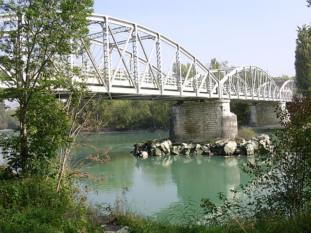
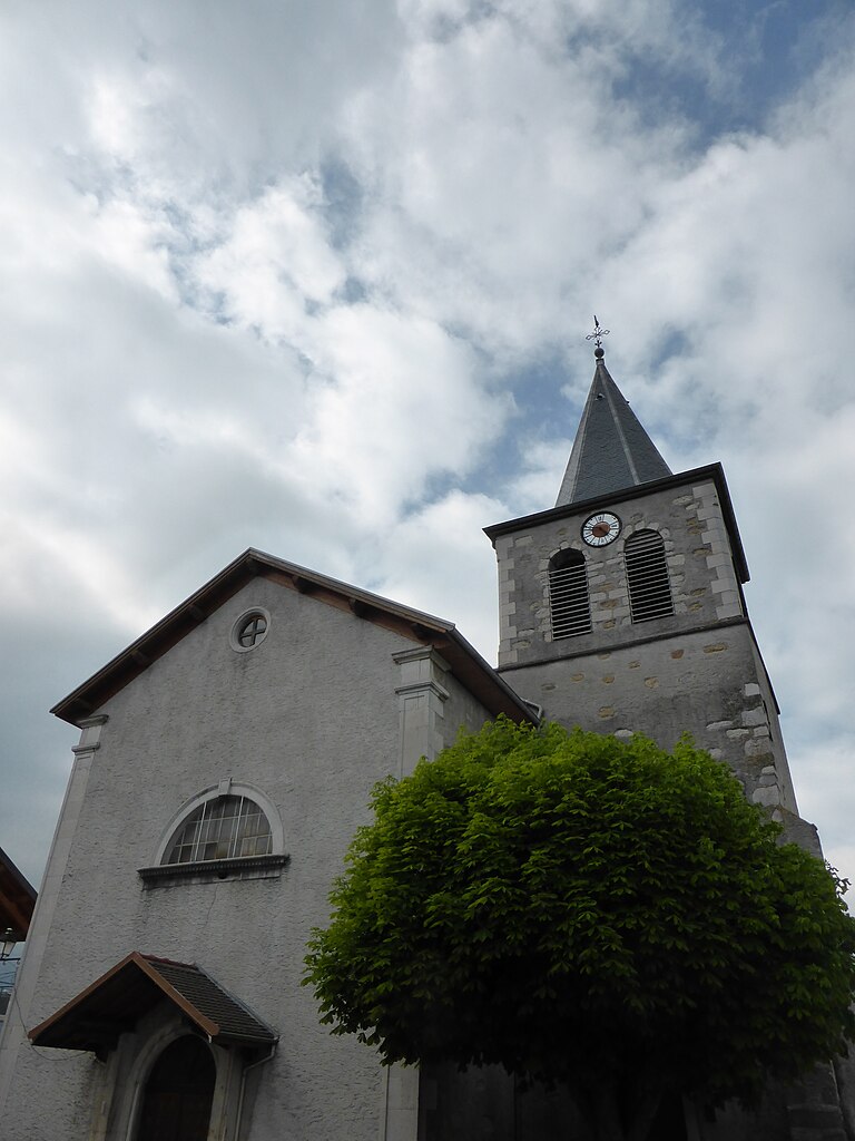
Вюльбан (Vulbens, Vulbens)

- коммуна во Франции
 Hiking in Вюльбан
Vulbens is a charming village located in the Haute-Savoie region of southeastern France, near the border with Switzerland. The region is known for its beautiful landscapes, including the surrounding alpine scenery, making it an excellent destination for hiking enthusiasts. Here are some aspects to consider when hiking in and around Vulbens:
Trails and Routes
-
Local Trails: There are several trails in and around Vulbens that cater to varying skill levels. You can find gentle walks suitable for families as well as more challenging routes.
-
Alpine Paths: Being close to the Alps, you can easily access trails that take you into higher elevations, offering stunning views of the mountains and valleys.
-
Nature Reserves: Check for nearby nature reserves or parks that may have designated hiking trails, providing the opportunity to see local flora and fauna.
Scenery
-
Views: The region offers breathtaking views of the surrounding mountains, particularly the massif of the Alps. Photogenic landscapes, lush meadows, and alpine lakes abound.
-
Seasonal Changes: Depending on when you hike, you can experience different landscapes, from vibrant wildflowers in spring and summer to stunning fall foliage in autumn.
Preparation
-
Weather: The weather in this region can change rapidly, so it’s important to check forecasts and prepare for varying conditions. Always carry suitable clothing and gear.
-
Maps and Guides: Use a good map or a hiking app to ensure you stay on track. Local tourist offices may provide resources or even guided tours for specific trails.
-
Safety: Make sure to inform someone about your hiking plans, especially if you’re going into more remote areas. It’s always a good idea to hike with a partner or group.
Accessibility
- Transport Options: Vulbens can be accessed by various means of transport, and from there, public transport or local shuttles might take you to trailheads nearby.
Additional Attractions
- Cultural Sites: After a day of hiking, explore the local culture, including historical sites or local cuisine. Enjoying traditional Savoyard dishes could be a delightful way to end your day.
Overall, hiking in Vulbens offers a perfect blend of natural beauty and cultural richness. Make sure to plan your routes based on your hiking experience, and enjoy the stunning scenery that this region has to offer!
- Страна:

- Почтовый код: 74520
- Координаты: 46° 6' 5" N, 5° 55' 50" E


- GPS треки (wikiloc): [Ссылка]
- Площадь: 12.53 кв.км
- Население: 1521
- Веб сайт: http://www.vulbens.fr
- Википедия английская: wiki(en)
- Википедия национальная: wiki(fr)
- Хранилище Wikidata: Wikidata: Q532663
- Катеория в википедии: [Ссылка]
- код Freebase: [/m/03h4z3d]
- код GeoNames: Альт: [2967541]
- номер SIREN: [217403146]
- код BNF: [15274566x]
- код VIAF: Альт: [136202008]
- код GND: Альт: [4340930-1]
- код LCNAF: Альт: [n95037758]
- код тезауруса PACTOLS: [pcrth4xNumoso3]
- код муниципалитета INSEE: 74314
Граничит с регионами:

Коллонж
- коммуна во Франции
Hiking in Коллонж
Collonges, located in the Ain department of France, offers beautiful landscapes and a variety of hiking opportunities. The region is characterized by its diverse terrain, including rolling hills, forests, and rural countryside, making it ideal for both casual walkers and more experienced hikers....
- Страна:
- Почтовый код: 01550
- Координаты: 46° 8' 19" N, 5° 54' 15" E
- GPS треки (wikiloc): [Ссылка]
- Площадь: 16.25 кв.км
- Население: 2195
- Веб сайт: [Ссылка]
Пуньи
- коммуна во Франции, департамент Эн
Hiking in Пуньи
Pougny is a small commune located in the Ain department in the Auvergne-Rhône-Alpes region of southeastern France. While not as widely known as some other hiking destinations in the region, it still offers opportunities for outdoor enthusiasts and hikers looking to explore the scenic countryside of the area....
- Страна:
- Почтовый код: 01550
- Координаты: 46° 8' 23" N, 5° 56' 58" E
- GPS треки (wikiloc): [Ссылка]
- Площадь: 7.77 кв.км
- Население: 817
- Веб сайт: [Ссылка]


Шеврие
- коммуна в кантоне Сен-Жюльен-ан-Женевуа департамента Верхняя Савойя региона Овернь — Рона — Альпы во Франции
Hiking in Шеврие
Chevrier, located in the Auvergne-Rhône-Alpes region of France, offers beautiful landscapes for hiking enthusiasts. The area is often appreciated for its scenic views, natural beauty, and a variety of trails suitable for different skill levels. Here are some aspects to consider when planning a hiking trip to Chevrier:...
- Страна:
- Почтовый код: 74520
- Координаты: 46° 6' 31" N, 5° 54' 58" E
- GPS треки (wikiloc): [Ссылка]
- Площадь: 5.35 кв.км
- Население: 489
- Веб сайт: [Ссылка]


Clarafond-Arcine
- коммуна во Франции
Hiking in Clarafond-Arcine
Clarafond-Arcine, a picturesque commune located in the Auvergne-Rhône-Alpes region of France, near Annecy, offers some beautiful hiking opportunities. The area is known for its stunning alpine scenery, encompassing rolling hills, lush forests, and panoramic views of the surrounding mountains....
- Страна:
- Почтовый код: 74270
- Координаты: 46° 3' 51" N, 5° 53' 38" E
- GPS треки (wikiloc): [Ссылка]
- Площадь: 16.88 кв.км
- Население: 978


Dingy-en-Vuache
- коммуна во Франции
Hiking in Dingy-en-Vuache
Dingy-en-Vuache, located in the Haute-Savoie region of southeastern France, offers stunning landscapes and various hiking opportunities. Nestled on the edge of the Vuache mountain range, the area is known for its beautiful natural scenery, including rolling hills, dense forests, and panoramic views of the surrounding valleys and mountains....
- Страна:
- Почтовый код: 74520
- Координаты: 46° 5' 31" N, 5° 56' 41" E
- GPS треки (wikiloc): [Ссылка]
- Площадь: 7.18 кв.км
- Население: 643
- Веб сайт: [Ссылка]

Valleiry
- коммуна во Франции
Hiking in Valleiry
Valleiry, located in the Haute-Savoie region of France, is a charming area close to the borders of Switzerland. While it may not be as well-known as some other hiking destinations in the Alps, it offers several trails that cater to various skill levels and preferences....
- Страна:
- Почтовый код: 74520
- Координаты: 46° 6' 29" N, 5° 58' 5" E
- GPS треки (wikiloc): [Ссылка]
- Площадь: 6.95 кв.км
- Население: 4360
- Веб сайт: [Ссылка]