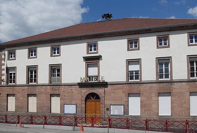
Éloyes (Éloyes)

- commune in Vosges, France
- Country:

- Postal Code: 88510
- Coordinates: 48° 5' 45" N, 6° 36' 34" E


- GPS tracks (wikiloc): [Link]
- Area: 12.51 sq km
- Population: 3265
- Web site: http://www.eloyes.fr
- Wikipedia en: wiki(en)
- Wikipedia: wiki(fr)
- Wikidata storage: Wikidata: Q274801
- Wikipedia Commons Category: [Link]
- Freebase ID: [/m/03qgy36]
- Freebase ID: [/m/03qgy36]
- GeoNames ID: Alt: [3020275]
- GeoNames ID: Alt: [3020275]
- SIREN number: [218801587]
- SIREN number: [218801587]
- BnF ID: [15279086c]
- BnF ID: [15279086c]
- VIAF ID: Alt: [157468840]
- VIAF ID: Alt: [157468840]
- Library of Congress authority ID: Alt: [no2005120837]
- Library of Congress authority ID: Alt: [no2005120837]
- INSEE municipality code: 88158
- INSEE municipality code: 88158
Shares border with regions:


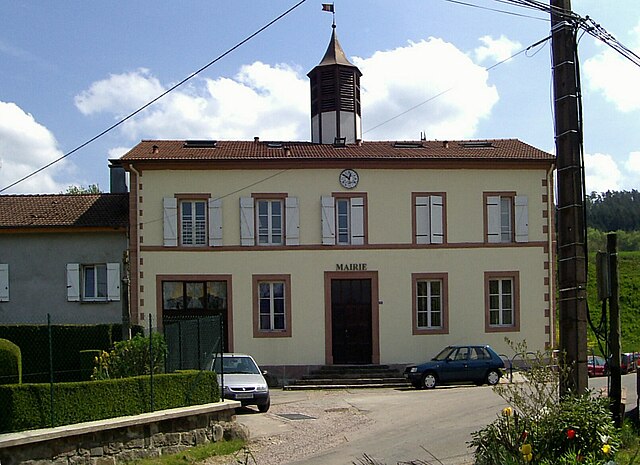
Saint-Nabord
- commune in Vosges, France
- Country:
- Postal Code: 88200
- Coordinates: 48° 2' 58" N, 6° 34' 47" E
- GPS tracks (wikiloc): [Link]
- Area: 38.5 sq km
- Population: 4057
- Web site: [Link]


Jarménil
- commune in Vosges, France
- Country:
- Postal Code: 88550
- Coordinates: 48° 6' 49" N, 6° 34' 19" E
- GPS tracks (wikiloc): [Link]
- Area: 5.1 sq km
- Population: 456

Pouxeux
- commune in Vosges, France
- Country:
- Postal Code: 88550
- Coordinates: 48° 6' 28" N, 6° 33' 59" E
- GPS tracks (wikiloc): [Link]
- Area: 14.36 sq km
- Population: 1994


Saint-Étienne-lès-Remiremont
- commune in Vosges, France
- Country:
- Postal Code: 88200
- Coordinates: 48° 1' 25" N, 6° 36' 16" E
- GPS tracks (wikiloc): [Link]
- Area: 33.81 sq km
- Population: 3836
- Web site: [Link]


Tendon
- commune in Vosges, France
- Country:
- Postal Code: 88460
- Coordinates: 48° 7' 18" N, 6° 40' 44" E
- GPS tracks (wikiloc): [Link]
- Area: 21.85 sq km
- Population: 523

Xamontarupt
- commune in Vosges, France
- Country:
- Postal Code: 88460
- Coordinates: 48° 7' 57" N, 6° 39' 11" E
- GPS tracks (wikiloc): [Link]
- Area: 5 sq km
- Population: 152