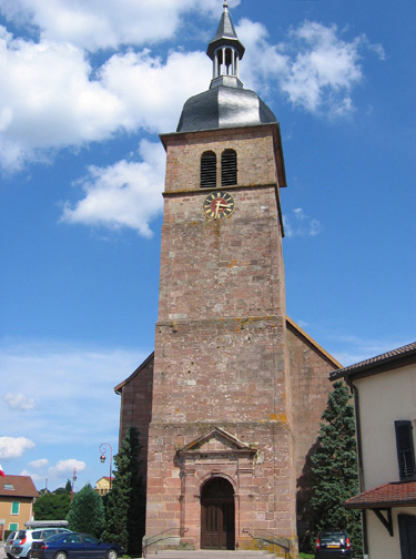
Xamontarupt (Xamontarupt)

- commune in Vosges, France
- Country:

- Postal Code: 88460
- Coordinates: 48° 7' 57" N, 6° 39' 11" E


- GPS tracks (wikiloc): [Link]
- Area: 5 sq km
- Population: 152
- Wikipedia en: wiki(en)
- Wikipedia: wiki(fr)
- Wikidata storage: Wikidata: Q356146
- Wikipedia Commons Category: [Link]
- Freebase ID: [/m/03qgvsz]
- Freebase ID: [/m/03qgvsz]
- SIREN number: [218805281]
- SIREN number: [218805281]
- BnF ID: [15279447k]
- BnF ID: [15279447k]
- INSEE municipality code: 88528
- INSEE municipality code: 88528
Shares border with regions:

Docelles
- commune in Vosges, France
- Country:
- Postal Code: 88460
- Coordinates: 48° 8' 44" N, 6° 37' 4" E
- GPS tracks (wikiloc): [Link]
- Area: 8.74 sq km
- Population: 911


Jarménil
- commune in Vosges, France
- Country:
- Postal Code: 88550
- Coordinates: 48° 6' 49" N, 6° 34' 19" E
- GPS tracks (wikiloc): [Link]
- Area: 5.1 sq km
- Population: 456


Tendon
- commune in Vosges, France
- Country:
- Postal Code: 88460
- Coordinates: 48° 7' 18" N, 6° 40' 44" E
- GPS tracks (wikiloc): [Link]
- Area: 21.85 sq km
- Population: 523


Éloyes
- commune in Vosges, France
- Country:
- Postal Code: 88510
- Coordinates: 48° 5' 45" N, 6° 36' 34" E
- GPS tracks (wikiloc): [Link]
- Area: 12.51 sq km
- Population: 3265
- Web site: [Link]

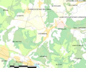
Cheniménil
- commune in Vosges, France
- Country:
- Postal Code: 88460
- Coordinates: 48° 8' 18" N, 6° 36' 15" E
- GPS tracks (wikiloc): [Link]
- Area: 9.28 sq km
- Population: 1192
- Web site: [Link]

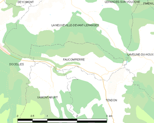
Faucompierre
- commune in Vosges, France
- Country:
- Postal Code: 88460
- Coordinates: 48° 8' 17" N, 6° 40' 14" E
- GPS tracks (wikiloc): [Link]
- Area: 2.45 sq km
- Population: 244