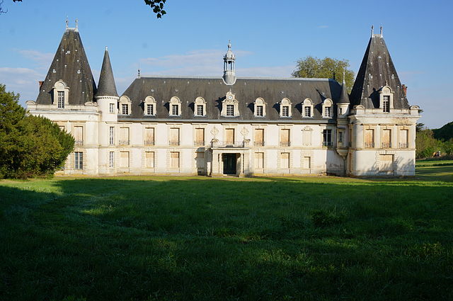
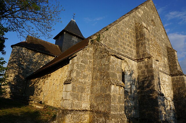
Étoges (Étoges)
- commune in Marne, France
- Country:

- Postal Code: 51270
- Coordinates: 48° 52' 47" N, 3° 51' 19" E


- GPS tracks (wikiloc): [Link]
- Area: 14.57 sq km
- Population: 448
- Wikipedia en: wiki(en)
- Wikipedia: wiki(fr)
- Wikidata storage: Wikidata: Q290418
- Wikipedia Commons Category: [Link]
- Freebase ID: [/m/03qd6m7]
- GeoNames ID: Alt: [6435807]
- SIREN number: [215102203]
- BnF ID: [15262843d]
- VIAF ID: Alt: [246995179]
- WOEID: [590288]
- INSEE municipality code: 51238
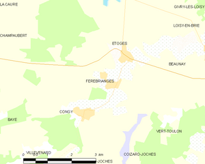
Shares border with regions:


Loisy-en-Brie
- commune in Marne, France
- Country:

- Postal Code: 51130
- Coordinates: 48° 52' 59" N, 3° 54' 7" E


- GPS tracks (wikiloc): [Link]
- Area: 15.09 sq km
- Population: 209


Vert-Toulon
- commune in Marne, France
- Country:

- Postal Code: 51130
- Coordinates: 48° 50' 39" N, 3° 54' 42" E


- GPS tracks (wikiloc): [Link]
- AboveSeaLevel: 70 м m
- Area: 22.04 sq km
- Population: 300


Congy
- commune in Marne, France
- Country:

- Postal Code: 51270
- Coordinates: 48° 51' 34" N, 3° 49' 41" E


- GPS tracks (wikiloc): [Link]
- Area: 17.47 sq km
- Population: 251


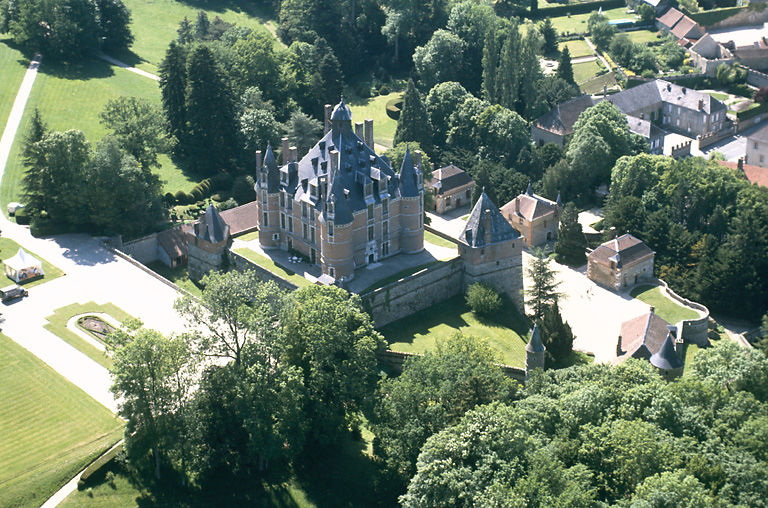
Montmort-Lucy
- commune in Marne, France
- Country:

- Postal Code: 51270
- Coordinates: 48° 55' 29" N, 3° 48' 31" E


- GPS tracks (wikiloc): [Link]
- AboveSeaLevel: 206 м m
- Area: 29.17 sq km
- Population: 596


Fèrebrianges
- commune in Marne, France
- Country:

- Postal Code: 51270
- Coordinates: 48° 52' 11" N, 3° 50' 43" E


- GPS tracks (wikiloc): [Link]
- Area: 7.19 sq km
- Population: 164


Beaunay
- commune in Marne, France
- Country:

- Postal Code: 51270
- Coordinates: 48° 53' 3" N, 3° 52' 39" E


- GPS tracks (wikiloc): [Link]
- Area: 3.53 sq km
- Population: 113
