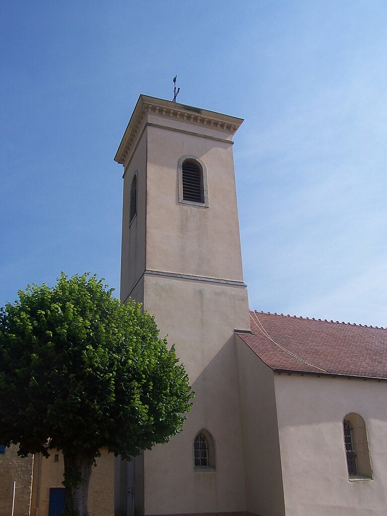
Étrigny (Étrigny)

- commune in Saône-et-Loire, France
- Country:

- Postal Code: 71240
- Coordinates: 46° 35' 25" N, 4° 48' 14" E


- GPS tracks (wikiloc): [Link]
- Area: 19.22 sq km
- Population: 465
- Web site: http://www.mairie-etrigny.fr
- Wikipedia en: wiki(en)
- Wikipedia: wiki(fr)
- Wikidata storage: Wikidata: Q1155611
- Wikipedia Commons Category: [Link]
- Wikipedia Commons Maps Category: [Link]
- Freebase ID: [/m/03qg145]
- Freebase ID: [/m/03qg145]
- GeoNames ID: Alt: [6442254]
- GeoNames ID: Alt: [6442254]
- SIREN number: [217101930]
- SIREN number: [217101930]
- PACTOLS thesaurus ID: [pcrtK3YPFrijlW]
- PACTOLS thesaurus ID: [pcrtK3YPFrijlW]
- INSEE municipality code: 71193
- INSEE municipality code: 71193
Shares border with regions:


La Chapelle-de-Bragny
- commune in Saône-et-Loire, France
- Country:
- Postal Code: 71240
- Coordinates: 46° 38' 0" N, 4° 45' 58" E
- GPS tracks (wikiloc): [Link]
- Area: 15.87 sq km
- Population: 255
- Web site: [Link]


La Chapelle-sous-Brancion
- commune in Saône-et-Loire, France
- Country:
- Postal Code: 71700
- Coordinates: 46° 33' 43" N, 4° 47' 52" E
- GPS tracks (wikiloc): [Link]
- Area: 9.94 sq km
- Population: 126


Champagny-sous-Uxelles
- commune in Saône-et-Loire, France
- Country:
- Postal Code: 71460
- Coordinates: 46° 34' 49" N, 4° 44' 34" E
- GPS tracks (wikiloc): [Link]
- Area: 5.05 sq km
- Population: 94

Mancey
- commune in Saône-et-Loire, France
- Country:
- Postal Code: 71240
- Coordinates: 46° 34' 28" N, 4° 50' 43" E
- GPS tracks (wikiloc): [Link]
- Area: 10.02 sq km
- Population: 385
- Web site: [Link]

Bresse-sur-Grosne
- commune in Saône-et-Loire, France
- Country:
- Postal Code: 71460
- Coordinates: 46° 35' 31" N, 4° 43' 55" E
- GPS tracks (wikiloc): [Link]
- Area: 10.02 sq km
- Population: 188


Chapaize
- commune in Saône-et-Loire, France
- Country:
- Postal Code: 71460
- Coordinates: 46° 33' 26" N, 4° 44' 14" E
- GPS tracks (wikiloc): [Link]
- Area: 13.76 sq km
- Population: 151


Nanton, Saône-et-Loire
- commune in Saône-et-Loire, France
- Country:
- Postal Code: 71240
- Coordinates: 46° 37' 11" N, 4° 48' 58" E
- GPS tracks (wikiloc): [Link]
- Area: 14.03 sq km
- Population: 633
- Web site: [Link]