Nanton, Saône-et-Loire (Nanton)
- commune in Saône-et-Loire, France
- Country:

- Postal Code: 71240
- Coordinates: 46° 37' 11" N, 4° 48' 58" E


- GPS tracks (wikiloc): [Link]
- Area: 14.03 sq km
- Population: 633
- Web site: https://www.nanton.fr
- Wikipedia en: wiki(en)
- Wikipedia: wiki(fr)
- Wikidata storage: Wikidata: Q967393
- Wikipedia Commons Category: [Link]
- Wikipedia Commons Maps Category: [Link]
- Freebase ID: [/m/03qgl5n]
- Freebase ID: [/m/03qgl5n]
- GeoNames ID: Alt: [6613294]
- GeoNames ID: Alt: [6613294]
- SIREN number: [217103282]
- SIREN number: [217103282]
- BnF ID: [15273299t]
- BnF ID: [15273299t]
- INSEE municipality code: 71328
- INSEE municipality code: 71328
Shares border with regions:


Étrigny
- commune in Saône-et-Loire, France
- Country:

- Postal Code: 71240
- Coordinates: 46° 35' 25" N, 4° 48' 14" E


- GPS tracks (wikiloc): [Link]
- Area: 19.22 sq km
- Population: 465
- Web site: [Link]


La Chapelle-de-Bragny
- commune in Saône-et-Loire, France
- Country:

- Postal Code: 71240
- Coordinates: 46° 38' 0" N, 4° 45' 58" E


- GPS tracks (wikiloc): [Link]
- Area: 15.87 sq km
- Population: 255
- Web site: [Link]


Lalheue
- commune in Saône-et-Loire, France
- Country:

- Postal Code: 71240
- Coordinates: 46° 38' 54" N, 4° 47' 40" E


- GPS tracks (wikiloc): [Link]
- Area: 6.87 sq km
- Population: 403
- Web site: [Link]


Montceaux-Ragny
- commune in Saône-et-Loire, France
- Country:

- Postal Code: 71240
- Coordinates: 46° 37' 16" N, 4° 50' 36" E


- GPS tracks (wikiloc): [Link]
- Area: 2.53 sq km
- Population: 32
- Web site: [Link]


Mancey
- commune in Saône-et-Loire, France
- Country:

- Postal Code: 71240
- Coordinates: 46° 34' 28" N, 4° 50' 43" E


- GPS tracks (wikiloc): [Link]
- Area: 10.02 sq km
- Population: 385
- Web site: [Link]


Laives
- commune in Saône-et-Loire, France
- Country:

- Postal Code: 71240
- Coordinates: 46° 38' 43" N, 4° 50' 44" E


- GPS tracks (wikiloc): [Link]
- Area: 12.62 sq km
- Population: 1026
- Web site: [Link]


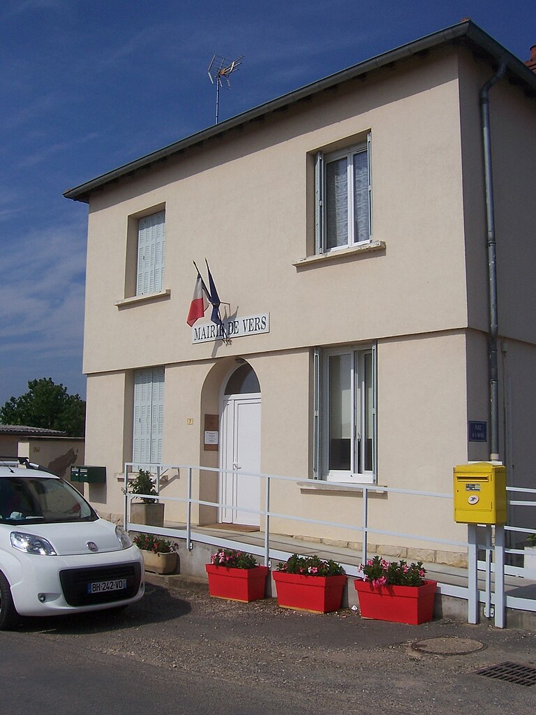
Vers
- commune in Saône-et-Loire, France
- Country:

- Postal Code: 71240
- Coordinates: 46° 35' 2" N, 4° 51' 22" E


- GPS tracks (wikiloc): [Link]
- Area: 4.18 sq km
- Population: 232


Jugy
- commune in Saône-et-Loire, France
- Country:

- Postal Code: 71240
- Coordinates: 46° 36' 26" N, 4° 51' 55" E


- GPS tracks (wikiloc): [Link]
- Area: 7.69 sq km
- Population: 329
- Web site: [Link]
