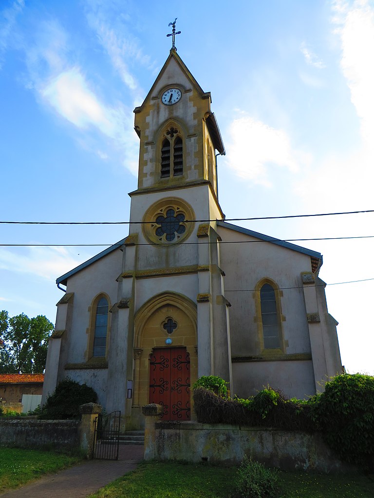
Adaincourt (Adaincourt)

- commune in Moselle, France
- Country:

- Postal Code: 57580
- Coordinates: 49° 0' 19" N, 6° 26' 9" E


- GPS tracks (wikiloc): [Link]
- Area: 3.42 sq km
- Population: 123
- Wikipedia en: wiki(en)
- Wikipedia: wiki(fr)
- Wikidata storage: Wikidata: Q21639
- Wikipedia Commons Category: [Link]
- Freebase ID: [/m/03nq5t1]
- Freebase ID: [/m/03nq5t1]
- GeoNames ID: Alt: [6452411]
- GeoNames ID: Alt: [6452411]
- SIREN number: [215700071]
- SIREN number: [215700071]
- BnF ID: [15265519f]
- BnF ID: [15265519f]
- INSEE municipality code: 57007
- INSEE municipality code: 57007
Shares border with regions:

Han-sur-Nied
- commune in Moselle, France
- Country:
- Postal Code: 57580
- Coordinates: 48° 59' 25" N, 6° 26' 15" E
- GPS tracks (wikiloc): [Link]
- Area: 2.02 sq km
- Population: 260


Vittoncourt
- commune in Moselle, France
- Country:
- Postal Code: 57580
- Coordinates: 49° 1' 14" N, 6° 25' 47" E
- GPS tracks (wikiloc): [Link]
- Area: 9.51 sq km
- Population: 384


Herny
- commune in Moselle, France
- Country:
- Postal Code: 57580
- Coordinates: 48° 59' 57" N, 6° 28' 54" E
- GPS tracks (wikiloc): [Link]
- Area: 9.64 sq km
- Population: 498


Rémilly
- commune in Moselle, France
- Country:
- Postal Code: 57580
- Coordinates: 49° 0' 49" N, 6° 23' 36" E
- GPS tracks (wikiloc): [Link]
- Area: 18.94 sq km
- Population: 2102
- Web site: [Link]