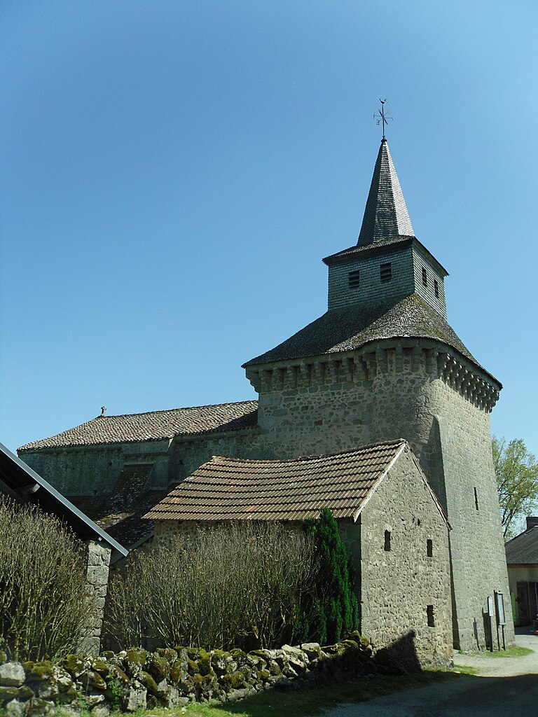
Mazeirat (Mazeirat)

- commune in Creuse, France
- Country:

- Postal Code: 23150
- Coordinates: 46° 8' 32" N, 1° 58' 52" E


- GPS tracks (wikiloc): [Link]
- Area: 7.8 sq km
- Population: 139
- Wikipedia en: wiki(en)
- Wikipedia: wiki(fr)
- Wikidata storage: Wikidata: Q948142
- Wikipedia Commons Category: [Link]
- Freebase ID: [/m/03mfjtx]
- Freebase ID: [/m/03mfjtx]
- GeoNames ID: Alt: [6613333]
- GeoNames ID: Alt: [6613333]
- SIREN number: [212312805]
- SIREN number: [212312805]
- BnF ID: [152515167]
- BnF ID: [152515167]
- INSEE municipality code: 23128
- INSEE municipality code: 23128
Shares border with regions:


Pionnat
- commune in Creuse, France
- Country:
- Postal Code: 23140
- Coordinates: 46° 10' 15" N, 2° 1' 31" E
- GPS tracks (wikiloc): [Link]
- Area: 41.77 sq km
- Population: 766

Saint-Hilaire-la-Plaine
- commune in Creuse, France
- Country:
- Postal Code: 23150
- Coordinates: 46° 7' 31" N, 1° 58' 35" E
- GPS tracks (wikiloc): [Link]
- Area: 11.06 sq km
- Population: 212


Saint-Yrieix-les-Bois
- commune in Creuse, France
- Country:
- Postal Code: 23150
- Coordinates: 46° 5' 59" N, 1° 56' 18" E
- GPS tracks (wikiloc): [Link]
- Area: 15.7 sq km
- Population: 288

Ahun
- commune in Creuse, France
- Country:
- Postal Code: 23150
- Coordinates: 46° 5' 11" N, 2° 2' 42" E
- GPS tracks (wikiloc): [Link]
- Area: 33.74 sq km
- Population: 1448
Saint-Laurent
- commune in Creuse, France
- Country:
- Postal Code: 23000
- Coordinates: 46° 9' 59" N, 1° 57' 45" E
- GPS tracks (wikiloc): [Link]
- Area: 12.93 sq km
- Population: 686


La Saunière
- commune in Creuse, France
- Country:
- Postal Code: 23000
- Coordinates: 46° 7' 49" N, 1° 56' 13" E
- GPS tracks (wikiloc): [Link]
- Area: 7.5 sq km
- Population: 616