Ainvelle (Ainvelle)

- commune in Vosges, France
- Country:

- Postal Code: 88320
- Coordinates: 47° 59' 50" N, 5° 49' 42" E


- GPS tracks (wikiloc): [Link]
- Area: 9.03 sq km
- Population: 160
- Wikipedia en: wiki(en)
- Wikipedia: wiki(fr)
- Wikidata storage: Wikidata: Q994692
- Wikipedia Commons Category: [Link]
- Freebase ID: [/m/03qgth0]
- Freebase ID: [/m/03qgth0]
- GeoNames ID: Alt: [6452583]
- GeoNames ID: Alt: [6452583]
- SIREN number: [218800043]
- SIREN number: [218800043]
- BnF ID: [152789331]
- BnF ID: [152789331]
- PACTOLS thesaurus ID: [pcrtNBx2BSYcMD]
- PACTOLS thesaurus ID: [pcrtNBx2BSYcMD]
- INSEE municipality code: 88004
- INSEE municipality code: 88004
Shares border with regions:
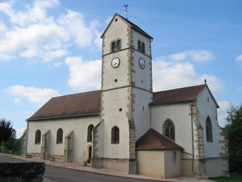
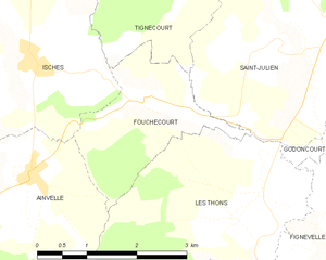
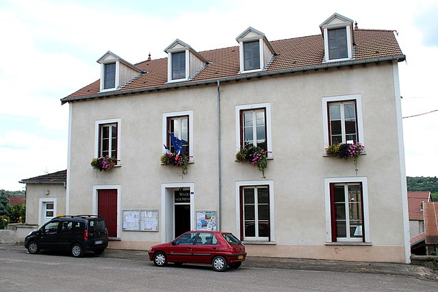
Fouchécourt
- commune in Vosges, France
- Country:
- Postal Code: 88320
- Coordinates: 48° 0' 32" N, 5° 51' 36" E
- GPS tracks (wikiloc): [Link]
- Area: 4.66 sq km
- Population: 44

Fresnes-sur-Apance
- commune in Haute-Marne, France
- Country:
- Postal Code: 52400
- Coordinates: 47° 56' 28" N, 5° 50' 5" E
- GPS tracks (wikiloc): [Link]
- Area: 16.47 sq km
- Population: 158


Senaide
- commune in Vosges, France
- Country:
- Postal Code: 88320
- Coordinates: 47° 58' 14" N, 5° 48' 12" E
- GPS tracks (wikiloc): [Link]
- Area: 12.17 sq km
- Population: 178


Isches
- commune in Vosges, France
- Country:
- Postal Code: 88320
- Coordinates: 48° 1' 2" N, 5° 49' 47" E
- GPS tracks (wikiloc): [Link]
- Area: 13.6 sq km
- Population: 158


Les Thons
- commune in Vosges, France
- Country:
- Postal Code: 88410
- Coordinates: 47° 59' 22" N, 5° 53' 9" E
- GPS tracks (wikiloc): [Link]
- Area: 10.09 sq km
- Population: 110