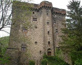
Albepierre-Bredons (Albepierre-Bredons)

- commune in Cantal, France
- Country:

- Postal Code: 15300
- Coordinates: 45° 4' 39" N, 2° 49' 55" E


- GPS tracks (wikiloc): [Link]
- Area: 34.42 sq km
- Population: 243
- Web site: http://outsiderland.com/albepierre-bredons/
- Wikipedia en: wiki(en)
- Wikipedia: wiki(fr)
- Wikidata storage: Wikidata: Q274165
- Wikipedia Commons Category: [Link]
- Freebase ID: [/m/03mb6hf]
- GeoNames ID: Alt: [6447247]
- SIREN number: [211500251]
- BnF ID: [152481963]
- INSEE municipality code: 15025
Shares border with regions:


Murat
- former commune in Cantal, France
- Country:
- Postal Code: 15300
- Coordinates: 45° 6' 36" N, 2° 52' 7" E
- GPS tracks (wikiloc): [Link]
- Area: 6.47 sq km
- Population: 1833


La Chapelle-d'Alagnon
- commune in Cantal, France
- Country:
- Postal Code: 15300
- Coordinates: 45° 6' 28" N, 2° 53' 47" E
- GPS tracks (wikiloc): [Link]
- Area: 9.2 sq km
- Population: 246
Laveissenet
- commune in Cantal, France
- Country:
- Postal Code: 15300
- Coordinates: 45° 4' 54" N, 2° 53' 20" E
- GPS tracks (wikiloc): [Link]
- Area: 10.79 sq km
- Population: 123
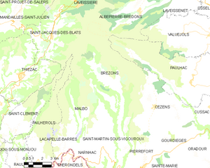
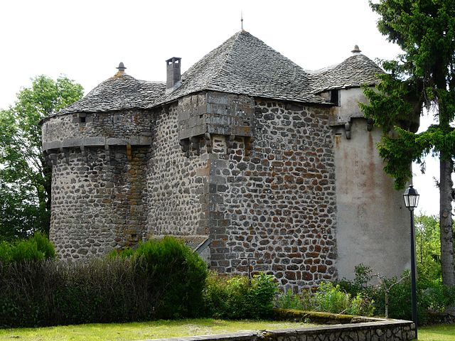
Brezons
- commune in Cantal, France
- Country:
- Postal Code: 15230
- Coordinates: 44° 58' 6" N, 2° 48' 26" E
- GPS tracks (wikiloc): [Link]
- Area: 43.2 sq km
- Population: 192
- Web site: [Link]


Laveissière
- commune in Cantal, France
- Country:
- Postal Code: 15300
- Coordinates: 45° 6' 58" N, 2° 48' 22" E
- GPS tracks (wikiloc): [Link]
- Area: 34.93 sq km
- Population: 547
- Web site: [Link]

Paulhac
- commune in Cantal, France
- Country:
- Postal Code: 15430
- Coordinates: 45° 0' 23" N, 2° 54' 15" E
- GPS tracks (wikiloc): [Link]
- AboveSeaLevel: 1117 м m
- Area: 46.92 sq km
- Population: 408
- Web site: [Link]


Saint-Jacques-des-Blats
- commune in Cantal, France
- Country:
- Postal Code: 15580
- Coordinates: 45° 3' 7" N, 2° 42' 38" E
- GPS tracks (wikiloc): [Link]
- Area: 31.48 sq km
- Population: 339