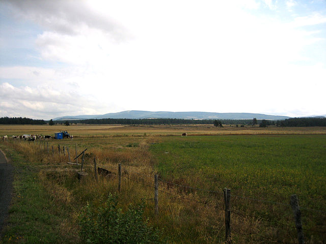
Allenc (Allenc)

- commune in Lozère, France
- Country:

- Postal Code: 48190
- Coordinates: 44° 32' 28" N, 3° 39' 40" E


- GPS tracks (wikiloc): [Link]
- Area: 38.58 sq km
- Population: 227
- Wikipedia en: wiki(en)
- Wikipedia: wiki(fr)
- Wikidata storage: Wikidata: Q655496
- Wikipedia Commons Category: [Link]
- Freebase ID: [/m/02z0wgv]
- Freebase ID: [/m/02z0wgv]
- GeoNames ID: Alt: [6452352]
- GeoNames ID: Alt: [6452352]
- SIREN number: [214800039]
- SIREN number: [214800039]
- BnF ID: [152614103]
- BnF ID: [152614103]
- PACTOLS thesaurus ID: [pcrtP2WaY9oG72]
- PACTOLS thesaurus ID: [pcrtP2WaY9oG72]
- Pleiades ID: [167633]
- Pleiades ID: [167633]
- INSEE municipality code: 48003
- INSEE municipality code: 48003
Shares border with regions:
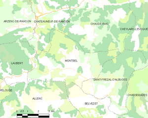
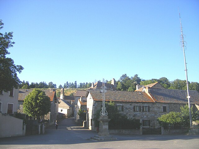
Montbel
- commune in Lozère, France
- Country:
- Postal Code: 48170
- Coordinates: 44° 35' 31" N, 3° 42' 56" E
- GPS tracks (wikiloc): [Link]
- Area: 22.87 sq km
- Population: 118


Saint-Julien-du-Tournel
- former commune in Lozère, France
- Country:
- Postal Code: 48190
- Coordinates: 44° 30' 3" N, 3° 41' 3" E
- GPS tracks (wikiloc): [Link]
- Area: 36.57 sq km
- Population: 125


Laubert
- commune in Lozère, France
- Country:
- Postal Code: 48170
- Coordinates: 44° 35' 8" N, 3° 38' 25" E
- GPS tracks (wikiloc): [Link]
- Area: 14.28 sq km
- Population: 102


Belvezet
- former commune in Lozère, France
- Country:
- Postal Code: 48170
- Coordinates: 44° 33' 49" N, 3° 44' 43" E
- GPS tracks (wikiloc): [Link]
- Area: 12.39 sq km
- Population: 84

Pelouse
- commune in Lozère, France
- Country:
- Postal Code: 48000
- Coordinates: 44° 34' 7" N, 3° 37' 0" E
- GPS tracks (wikiloc): [Link]
- AboveSeaLevel: 1115 м m
- Area: 32.98 sq km
- Population: 229


Chadenet
- commune in Lozère, France
- Country:
- Postal Code: 48190
- Coordinates: 44° 31' 11" N, 3° 38' 3" E
- GPS tracks (wikiloc): [Link]
- Area: 12.96 sq km
- Population: 90