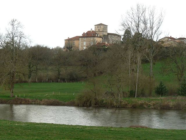
Ambernac (Ambernac)

- commune in Charente, France
- Country:

- Postal Code: 16490
- Coordinates: 45° 58' 49" N, 0° 32' 30" E


- GPS tracks (wikiloc): [Link]
- Area: 30.05 sq km
- Population: 367
- Wikipedia en: wiki(en)
- Wikipedia: wiki(fr)
- Wikidata storage: Wikidata: Q1349874
- Wikipedia Commons Category: [Link]
- Freebase ID: [/m/03mbc3l]
- GeoNames ID: Alt: [3037940]
- SIREN number: [211600093]
- BnF ID: [152484482]
- INSEE municipality code: 16009
Shares border with regions:


Alloue
- commune in Charente, France
- Country:
- Postal Code: 16490
- Coordinates: 46° 1' 35" N, 0° 30' 55" E
- GPS tracks (wikiloc): [Link]
- Area: 46.54 sq km
- Population: 483


Ansac-sur-Vienne
- commune in Charente, France
- Country:
- Postal Code: 16500
- Coordinates: 45° 59' 35" N, 0° 38' 49" E
- GPS tracks (wikiloc): [Link]
- Area: 30.79 sq km
- Population: 839


Saint-Laurent-de-Céris
- commune in Charente, France
- Country:
- Postal Code: 16450
- Coordinates: 45° 56' 29" N, 0° 28' 52" E
- GPS tracks (wikiloc): [Link]
- Area: 29.89 sq km
- Population: 779

Manot
- commune in Charente, France
- Country:
- Postal Code: 16500
- Coordinates: 45° 56' 34" N, 0° 38' 15" E
- GPS tracks (wikiloc): [Link]
- Area: 20.34 sq km
- Population: 576
- Web site: [Link]


Roumazières-Loubert
- commune in Charente, France
- Country:
- Postal Code: 16270
- Coordinates: 45° 53' 42" N, 0° 34' 31" E
- GPS tracks (wikiloc): [Link]
- Area: 46.59 sq km
- Population: 2494
- Web site: [Link]


Saint-Coutant
- commune in Charente, France
- Country:
- Postal Code: 16350
- Coordinates: 45° 59' 43" N, 0° 27' 33" E
- GPS tracks (wikiloc): [Link]
- AboveSeaLevel: 190 м m
- Area: 19.4 sq km
- Population: 224