canton of Confolens-Nord (canton de Confolens-Nord)
- canton of France
- Country:

- Capital: Confolens
- Coordinates: 46° 0' 52" N, 0° 40' 24" E


- GPS tracks (wikiloc): [Link]
- Wikidata storage: Wikidata: Q1725026
- INSEE canton code: [1614]
Includes regions:


Ambernac
- commune in Charente, France
- Country:
- Postal Code: 16490
- Coordinates: 45° 58' 49" N, 0° 32' 30" E
- GPS tracks (wikiloc): [Link]
- Area: 30.05 sq km
- Population: 367


Ansac-sur-Vienne
- commune in Charente, France
- Country:
- Postal Code: 16500
- Coordinates: 45° 59' 35" N, 0° 38' 49" E
- GPS tracks (wikiloc): [Link]
- Area: 30.79 sq km
- Population: 839

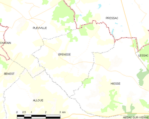
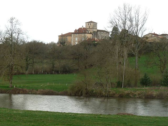
Épenède
- commune in Charente, France
- Country:
- Postal Code: 16490
- Coordinates: 46° 3' 49" N, 0° 32' 14" E
- GPS tracks (wikiloc): [Link]
- Area: 15.62 sq km
- Population: 205


Hiesse
- commune in Charente, France
- Country:
- Postal Code: 16490
- Coordinates: 46° 3' 22" N, 0° 35' 29" E
- GPS tracks (wikiloc): [Link]
- Area: 24.75 sq km
- Population: 245


Lessac
- commune in Charente, France
- Country:
- Postal Code: 16500
- Coordinates: 46° 4' 7" N, 0° 40' 32" E
- GPS tracks (wikiloc): [Link]
- Area: 34.14 sq km
- Population: 555


Pleuville
- commune in Charente, France
- Country:
- Postal Code: 16490
- Coordinates: 46° 5' 25" N, 0° 29' 45" E
- GPS tracks (wikiloc): [Link]
- Area: 33.63 sq km
- Population: 355

Manot
- commune in Charente, France
- Country:
- Postal Code: 16500
- Coordinates: 45° 56' 34" N, 0° 38' 15" E
- GPS tracks (wikiloc): [Link]
- Area: 20.34 sq km
- Population: 576
- Web site: [Link]